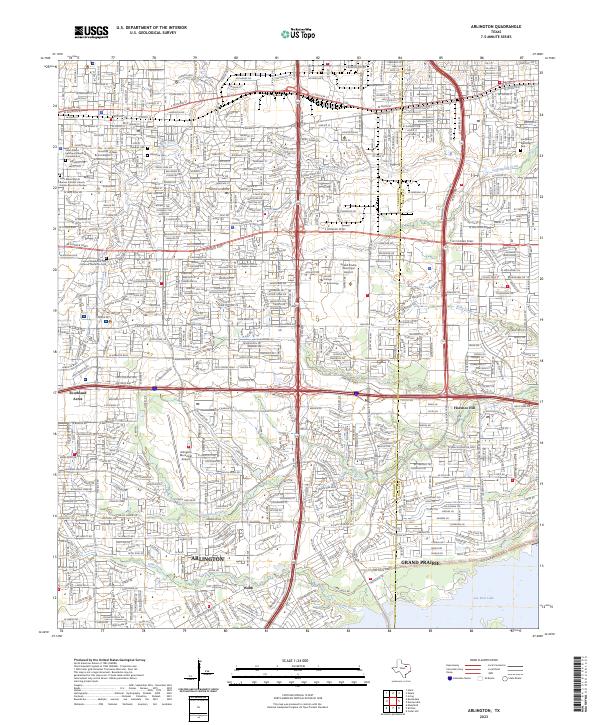
2023 Map of Arlington
USGS Topo · Published 2023About this map
The boundary of the Tarrant Co Dallas Co line bisects this densely developed corridor where Arlington and Grand Prairie meet. The landscape is characterized by a sophisticated transportation network, featuring the Union Pacific railroad and major thoroughfares like E Pioneer Pkwy and E Division St. Aviation infrastructure is prominent, with both the Arlington Municipal Airport and Grand Prairie Municipal Airport serving the region.
Find a feature on this map
38 named features on this map. Tap any name to fly to it.
Don’t see what you’re looking for? This feature index may not catch every label — zoom into the map to look around manually.
Map Details
Editions of this 2023 Arlington Map
This is the sole edition of this map. No revisions or reprints were ever made.
Other maps of this area

1891 · Dallas
USGS Topo · 1:125,000

1893 · Dallas
USGS Topo · 1:125,000

1894 · Fort Worth
USGS Topo · 1:125,000

1931 · Carrollton
USGS Topo · 1:62,500

1931 · Grapevine
USGS Topo · 1:62,500

1954 · Dallas
USGS Topo · 1:250,000

1958 · Dallas
USGS Topo · 1:250,000

1959 · Kennedale
USGS Topo · 1:24,000

1959 · Arlington
USGS Topo · 1:24,000

1959 · Euless
USGS Topo · 1:24,000
Featured Places
- Arlington, TX
- Grand Prairie, TX
- Heather Glen, Grand Prairie
- Chester Village, Grand Prairie
- Florence Hill, Grand Prairie