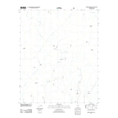
2011 Map of Armer Mountain
USGS Topo · Published 2011About this map
Armer Mountain and the surrounding high desert of Gila County are defined by a network of seasonal water sources and steep drainage systems in this 2011 survey. The landscape is marked by prominent landforms such as Dutchwoman Butte, Hopkins Mountain, and Tanner Peak, which rise above deeply carved features like Boyer Canyon and Connor Canyon. Evidence of human activity and cattle ranching in this arid environment is visible through the presence of Boyer Cabin and numerous dispersed water catchments, including Dust Bowl Tank, Whiskey Tank, and Center Ridge Tank.
Find a feature on this map
35 named features on this map. Tap any name to fly to it.
Don’t see what you’re looking for? This feature index may not catch every label — zoom into the map to look around manually.
Map Details
Editions of this 2011 Armer Mountain Map
This is the sole edition of this map. No revisions or reprints were ever made.
Other maps of this area

1907 · Roosevelt
USGS Topo · 1:125,000

1909 · Four Peaks
USGS Topo · 1:125,000

1912 · Roosevelt
USGS Topo · 1:125,000

1922 · Chrysotile
USGS Topo · 1:125,000

1949 · McFadden Peak
USGS Topo · 1:62,500

1949 · Rockinstraw Mtn
USGS Topo · 1:62,500

1950 · Rockinstraw Mtn
USGS Topo · 1:62,500

1950 · McFadden Peak
USGS Topo · 1:62,500

1954 · Mesa
USGS Topo · 1:250,000

1957 · Mesa
USGS Topo · 1:250,000