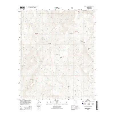
2014 Map of Armer Mountain
USGS Topo · Published 2014About this map
Sierra Ancha dominates the landscape of the Tonto National Forest in Gila County, where complex drainage systems and high peaks define the terrain. The map records a sophisticated network of water management features essential for this environment, including Upper Thompson Mesa Tank and Butte Tank, alongside natural sources like Tin House Spring and Hale Spring. Notable landmarks such as The Jug along Salome Cr highlight the erosional geology of the area. This 2014 survey serves as a record of the high desert and mountain interface, where cattle tanks and springs are the primary markers of human activity and land use. From the heights of Armer Mountain and Tanner Peak to the depths of Boyer Canyon, the topography is intricately mapped with forest service routes like NF 262 providing the few points of modern access.
Find a feature on this map
42 named features on this map. Tap any name to fly to it.
Don’t see what you’re looking for? This feature index may not catch every label — zoom into the map to look around manually.
Map Details
Editions of this 2014 Armer Mountain Map
This is the sole edition of this map. No revisions or reprints were ever made.
Other maps of this area

1907 · Roosevelt
USGS Topo · 1:125,000

1909 · Four Peaks
USGS Topo · 1:125,000

1912 · Roosevelt
USGS Topo · 1:125,000

1922 · Chrysotile
USGS Topo · 1:125,000

1949 · McFadden Peak
USGS Topo · 1:62,500

1949 · Rockinstraw Mtn
USGS Topo · 1:62,500

1950 · Rockinstraw Mtn
USGS Topo · 1:62,500

1950 · McFadden Peak
USGS Topo · 1:62,500

1954 · Mesa
USGS Topo · 1:250,000

1957 · Mesa
USGS Topo · 1:250,000