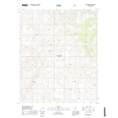
2018 Map of Armer Mountain
USGS Topo · Published 2018About this map
The Sierra Ancha mountains dominate this section of the Tonto National Forest, characterized by high peaks and deep, spring-fed canyons. Notable summits like Armer Mtn and Tanner Peak rise above the drainage systems of Salome Cr and Little Cherry Cr, illustrating the complex hydrology of Gila County. The map details numerous water management features essential to this arid landscape, including Upper Thompson Mesa Tank and Dutchwoman Tank.
Find a feature on this map
59 named features on this map. Tap any name to fly to it.
Don’t see what you’re looking for? This feature index may not catch every label — zoom into the map to look around manually.
Map Details
Editions of this 2018 Armer Mountain Map
This is the sole edition of this map. No revisions or reprints were ever made.
Other maps of this area

1907 · Roosevelt
USGS Topo · 1:125,000

1909 · Four Peaks
USGS Topo · 1:125,000

1912 · Roosevelt
USGS Topo · 1:125,000

1922 · Chrysotile
USGS Topo · 1:125,000

1949 · McFadden Peak
USGS Topo · 1:62,500

1949 · Rockinstraw Mtn
USGS Topo · 1:62,500

1950 · Rockinstraw Mtn
USGS Topo · 1:62,500

1950 · McFadden Peak
USGS Topo · 1:62,500

1954 · Mesa
USGS Topo · 1:250,000

1957 · Mesa
USGS Topo · 1:250,000