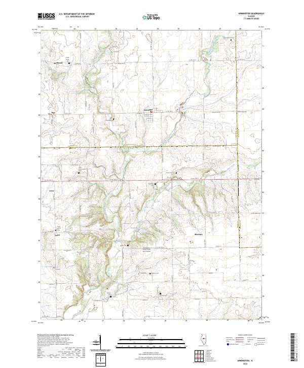
2024 Map of Armington
USGS Topo · Published 2024About this map
Sugar Creek and its various forks carve through this central Illinois landscape, defining the boundaries and settlement patterns where Tazewell, Logan, and McLean counties converge. The village of Armington serves as a central hub, surrounded by a high density of small family and community burial grounds that speak to the area's deep agricultural roots. These sites, including Hieronymus Cem and Hittle Grove Cem, are scattered across the township lines, often situated near the meandering path of the Middle Fork Sugar Creek.
Find a feature on this map
52 named features on this map. Tap any name to fly to it.
Don’t see what you’re looking for? This feature index may not catch every label — zoom into the map to look around manually.
Map Details
Editions of this 2024 Armington Map
This is the sole edition of this map. No revisions or reprints were ever made.
