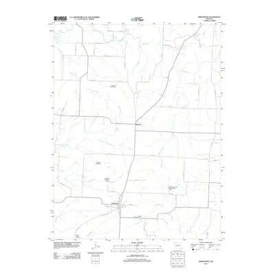
2012 Map of Armstrong
USGS Topo · Published 2012About this map
The city of Armstrong and the nearby village of Roanoke anchor this 2012 study of Howard County's rolling agricultural landscape. Small-scale water management is a defining characteristic of the local economy, evidenced by several private and municipal structures including the Armstrong Reservoir Dam, Helmich Lake Dam, and the Robertson Farms Incorporated Dam. These reservoirs supplement a natural drainage network led by Silver Creek in the north and Ganaway Creek in the south, which together shape the region's farming viability.
Find a feature on this map
50 named features on this map. Tap any name to fly to it.
Don’t see what you’re looking for? This feature index may not catch every label — zoom into the map to look around manually.
Map Details
Editions of this 2012 Armstrong Map
This is the sole edition of this map. No revisions or reprints were ever made.
Other maps of this area

1890 · Glasgow
USGS Topo · 1:125,000

1947 · Glasgow
USGS Topo · 1:62,500

1953 · Moberly
USGS Topo · 1:250,000

1953 · Fayette
USGS Topo · 1:24,000

1953 · Burton
USGS Topo · 1:24,000

1953 · Huntsville
USGS Topo · 1:24,000

1953 · Higbee
USGS Topo · 1:24,000

1953 · Armstrong
USGS Topo · 1:24,000

1953 · Clifton Hill
USGS Topo · 1:24,000

1954 · Moberly
USGS Topo · 1:250,000