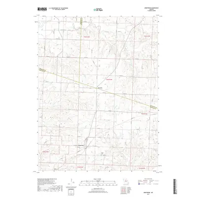
2017 Map of Armstrong
USGS Topo · Published 2017About this map
Armstrong serves as a primary settlement node in this rural landscape at the junction of several local routes, including Silver Crossing Rd and Hickory Rd. Located near the borders of Howard, Randolph, and Chariton counties, the area is defined by a dense network of streams such as Silver Creek, Mott Cr, and N Fork Batts Cr that drain into Doxies Fork and Ganaway Cr.
Find a feature on this map
65 named features on this map. Tap any name to fly to it.
Don’t see what you’re looking for? This feature index may not catch every label — zoom into the map to look around manually.
Map Details
Editions of this 2017 Armstrong Map
This is the sole edition of this map. No revisions or reprints were ever made.
Other maps of this area

1890 · Glasgow
USGS Topo · 1:125,000

1947 · Glasgow
USGS Topo · 1:62,500

1953 · Moberly
USGS Topo · 1:250,000

1953 · Fayette
USGS Topo · 1:24,000

1953 · Burton
USGS Topo · 1:24,000

1953 · Huntsville
USGS Topo · 1:24,000

1953 · Higbee
USGS Topo · 1:24,000

1953 · Armstrong
USGS Topo · 1:24,000

1953 · Clifton Hill
USGS Topo · 1:24,000

1954 · Moberly
USGS Topo · 1:250,000