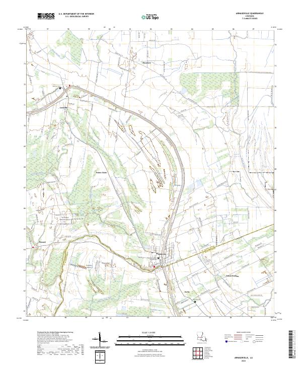
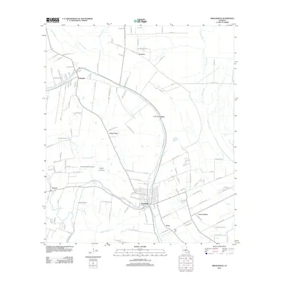
2024 Map of Arnaudville
USGS Topo · Published 2024About this map
Arnaudville straddles the boundary of St. Landry and St. Martin Parishes in this modern topographic landscape. The settlement pattern follows the meandering course of Bayou Teche, which flows through the center of the region. This waterway, historically a primary corridor for commerce and transport in Acadiana, is flanked by numerous smaller hamlets including Leonville, Pecaniere, and Darby.
Find a feature on this map
123 named features on this map. Tap any name to fly to it.
Don’t see what you’re looking for? This feature index may not catch every label — zoom into the map to look around manually.
Map Details
Editions of this 2024 Arnaudville Map
This is the sole edition of this map. No revisions or reprints were ever made.
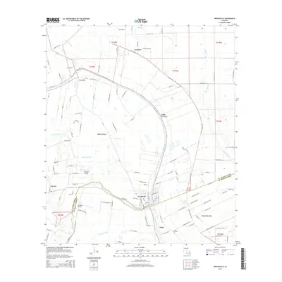
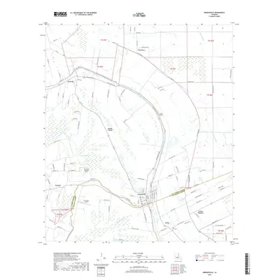
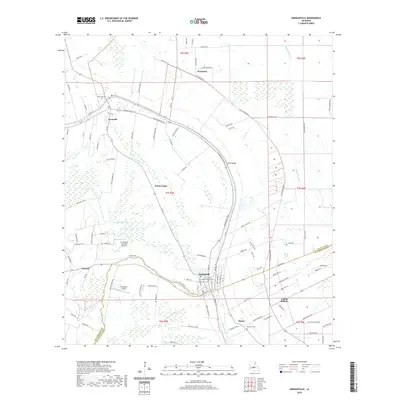
Historical Maps of Arnaudville Through Time
9 maps found

1940 Arnaudville
St. Landry Parish, LA
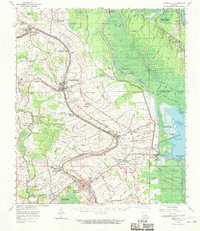
1963 Arnaudville
St. Landry Parish, LA
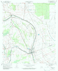
1970 Arnaudville
St. Landry Parish, LA
1970 Arnaudville
St. Landry Parish, LA
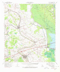
2012 Arnaudville
St. Landry Parish, LA
2015 Arnaudville
St. Landry Parish, LA
2018 Arnaudville
St. Landry Parish, LA
2020 Arnaudville
St. Landry Parish, LA
2024 Arnaudville
St. Landry Parish, LA