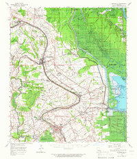
1963 Map of Arnaudville
USGS Topo · Published 1966About this map
Arnaudville sits at the junction of Bayou Teche and Bayou Fusilier, serving as a central hub for the surrounding Acadiana landscape in the early 1960s. The map reveals a transition from the intensive agricultural activity along the bayous—marked by sites like La Bourgeois Plantation and Magenta Plantation—to the vast, aqueous environment of the Atchafalaya Basin Floodway. The eastern portion of the sheet is dominated by the floodway's intricate network of waterways, including Bayou Fordoche and Lake Fordoche, which stand in stark contrast to the surveyed parish lines and road grids to the west.
Find a feature on this map
88 named features on this map. Tap any name to fly to it.
Don’t see what you’re looking for? This feature index may not catch every label — zoom into the map to look around manually.
Map Details
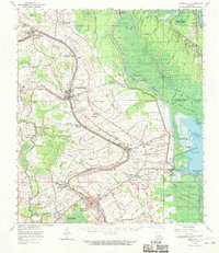
Editions of this 1963 Arnaudville Map
2 editions found
Other maps of this area

1935 · Osca Bayou
USGS Topo · 1:62,500

1939 · Opelousas
USGS Topo · 1:62,500

1939 · St. Martinsville
USGS Topo · 1:62,500

1939 · Fordoche
USGS Topo · 1:62,500

1940 · Arnaudville
USGS Topo · 1:62,500

1941 · Loreauville
USGS Topo · 1:62,500

1946 · Lafayette
USGS Topo · 1:31,680

1952 · Lake Charles
USGS Topo · 1:250,000

1954 · Lafayette
USGS Topo · 1:31,680

1954 · Loreauville
USGS Topo · 1:62,500