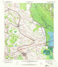
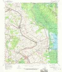
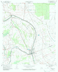
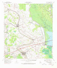
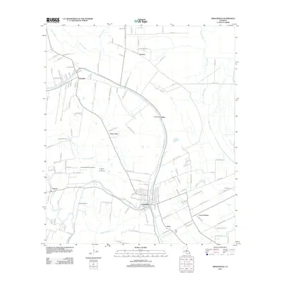
1970 Map of Arnaudville
USGS Topo · Published 1972About this map
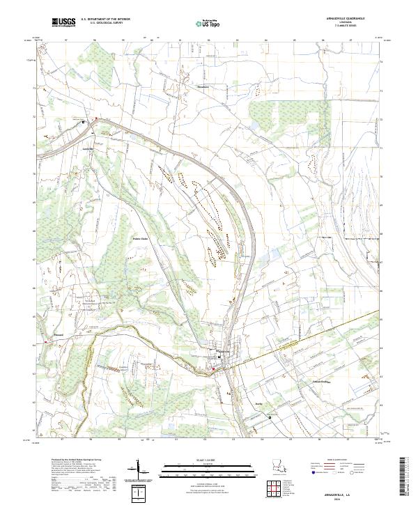
Bayou Teche defines the cultural and economic spine of this Acadiana landscape, winding through a string of established settlements from Leonville and Arnaudville down toward Breaux Bridge. The 1970s era shown here reflects a complex water management and industrial network, where the natural course of the bayou is augmented by the Bayou Courtableau Outlet Channel and a series of drainage canals like the Guidry and Huval Canal. The map records a transition from traditional agricultural areas such as Prairie Des Femmes and Coteau Rodaire to the growing energy sector, highlighted by the Anse La Butte Oil and Gas Field and the Krotz Springs Oil and Gas Field. Rural community life is anchored by local landmarks including Low Bethlehem Ch, Our Lady of Mercy Cem, and the Bordelon Airpark. Heavy transport is facilitated by both the Missouri Pacific Railroad and the Southern Pacific Railroad, while the eastern portion of the sheet is dominated by the dense wetlands of The Swamps near the Atchafalaya River.
Find a feature on this map
73 named features on this map. Tap any name to fly to it.
Don’t see what you’re looking for? This feature index may not catch every label — zoom into the map to look around manually.
Map Details
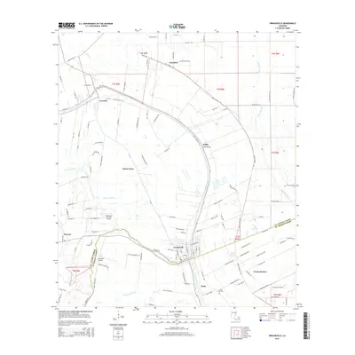
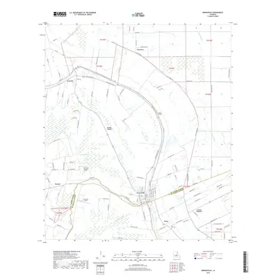
Editions of this 1970 Arnaudville Map
2 editions found
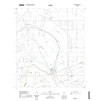
Historical Maps of Lafayette Through Time
9 maps found

1940 Arnaudville
St. Landry Parish, LA
1963 Arnaudville
St. Landry Parish, LA
1970 Arnaudville
St. Landry Parish, LA
1970 Arnaudville
St. Landry Parish, LA
2012 Arnaudville
St. Landry Parish, LA
2015 Arnaudville
St. Landry Parish, LA
2018 Arnaudville
St. Landry Parish, LA
2020 Arnaudville
St. Landry Parish, LA
2024 Arnaudville
St. Landry Parish, LA