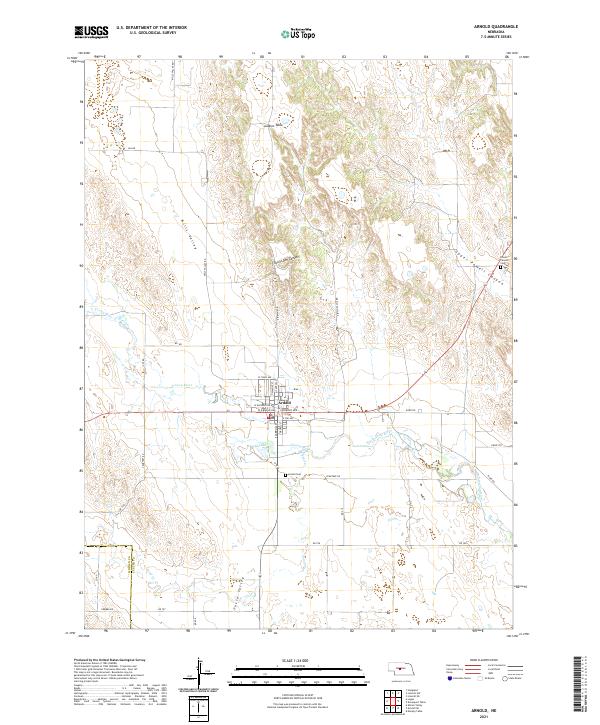
2021 Map of Arnold
USGS Topo · Published 2021About this map
Arnold sits as a primary hub within the Loess Hills of Custer County, situated along the winding course of the S Loup River. The village layout is clearly defined by a grid including W Arnold Ave and S Carroll St, serving as a gateway to the surrounding tablelands and canyons. Local heritage is anchored by the Arnold Cem and the Powell Canyon Cem, the latter located near the dramatic contours of Upper Powell Canyon.
Find a feature on this map
43 named features on this map. Tap any name to fly to it.
Don’t see what you’re looking for? This feature index may not catch every label — zoom into the map to look around manually.
Map Details
Editions of this 2021 Arnold Map
This is the sole edition of this map. No revisions or reprints were ever made.
Other maps of this area

1948 · Linscott
USGS Topo · 1:62,500

1950 · Linscott
USGS Topo · 1:62,500

1951 · Hoagland
USGS Topo · 1:62,500

1954 · North Platte
USGS Topo · 1:250,000

1956 · North Platte
USGS Topo · 1:250,000

1957 · North Platte
USGS Topo · 1:250,000

1967 · North Platte
USGS Topo · 1:250,000
1972 · Davenport Table
USGS Topo · 1:24,000
1972 · Murphy Table
USGS Topo · 1:24,000

1972 · Logan
USGS Topo · 1:24,000