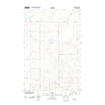
2013 Map of Arnold
USGS Topo · Published 2013About this map
The Lester River drainage basin forms the central axis of this landscape just north of Lake Superior, where the transition from rural homesteads to forested tracts is marked by a network of early trails and modern county roads. Significant water bodies like Eagle Lake, Schultz Lake, and Horseshoe Lake dominate the northern terrain, while the southern portion transitions toward the Amity Cr and E Br Amity Cr watersheds. Local transit history is visible in the alignment of the Old Vermilion Trl and the State Trl, which cut through a topography of subtle ridges and wetlands. The map shows a settled pattern of family-named roads such as Howard Gnesen Rd, Jean Duluth Rd, and Schamann Rd, illustrating the persistence of local lineage in the infrastructure of Saint Louis County.
Find a feature on this map
43 named features on this map. Tap any name to fly to it.
Don’t see what you’re looking for? This feature index may not catch every label — zoom into the map to look around manually.
Map Details
Editions of this 2013 Arnold Map
This is the sole edition of this map. No revisions or reprints were ever made.
Other maps of this area

1895 · Duluth
USGS Topo · 1:62,500

1953 · Lakewood
USGS Topo · 1:24,000

1953 · French River
USGS Topo · 1:24,000

1953 · Arnold
USGS Topo · 1:24,000

1953 · Duluth
USGS Topo · 1:24,000

1953 · Duluth Heights
USGS Topo · 1:24,000

1953 · Boulder Lake Reservoir
USGS Topo · 1:24,000

1953 · Fredenberg
USGS Topo · 1:24,000

1953 · Duluth
USGS Topo · 1:62,500

1953 · Ashland
USGS Topo · 1:250,000