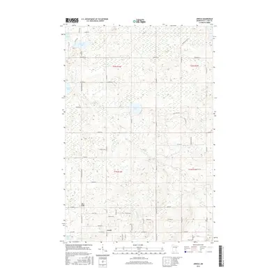
2016 Map of Arnold
USGS Topo · Published 2016About this map
Arnold and Rice Lake serve as the primary residential nodes in this northern Minnesota landscape, where the transition from suburban Duluth to the lake-studded woods of Saint Louis County is evident. The drainage patterns of the Lester River and Amity Cr carve through the terrain, illustrating the hydrological network that defines this region. Numerous small bodies of water, including Eagle Lake, Schultz Lake, and Horseshoe Lake, are scattered across the quadrangle, connected by a grid of rural roads such as Normanna Rd and Howard Gnesen Rd. This survey captures the area at a time of steady residential presence among the glacial lakes and creek branches, providing a clear view of property boundaries and local thoroughfares like Pequaywan Lake Rd and N Tischer Rd.
Find a feature on this map
64 named features on this map. Tap any name to fly to it.
Don’t see what you’re looking for? This feature index may not catch every label — zoom into the map to look around manually.
Map Details
Editions of this 2016 Arnold Map
This is the sole edition of this map. No revisions or reprints were ever made.
Other maps of this area

1895 · Duluth
USGS Topo · 1:62,500

1953 · Lakewood
USGS Topo · 1:24,000

1953 · French River
USGS Topo · 1:24,000

1953 · Arnold
USGS Topo · 1:24,000

1953 · Duluth
USGS Topo · 1:24,000

1953 · Duluth Heights
USGS Topo · 1:24,000

1953 · Boulder Lake Reservoir
USGS Topo · 1:24,000

1953 · Fredenberg
USGS Topo · 1:24,000

1953 · Duluth
USGS Topo · 1:62,500

1953 · Ashland
USGS Topo · 1:250,000