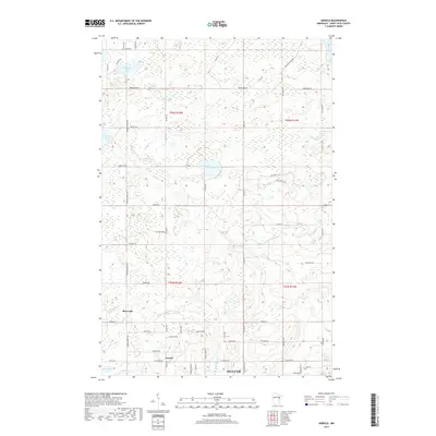
2019 Map of Arnold
USGS Topo · Published 2019About this map
The unincorporated community of Arnold and the expanding northern reaches of Duluth anchor this 2019 survey, illustrating the suburban and rural residential growth just inland from Lake Superior. The landscape is defined by the winding paths of the Lester River and Amity Cr, which flow through heavily wooded sections toward the lake. Prominent natural features such as Eagle Lake, Horseshoe Lake, and Mud Lake dot the terrain, while the rise of Eagle Ridge provides a distinct topographic landmark amidst the development.
Find a feature on this map
62 named features on this map. Tap any name to fly to it.
Don’t see what you’re looking for? This feature index may not catch every label — zoom into the map to look around manually.
Map Details
Editions of this 2019 Arnold Map
This is the sole edition of this map. No revisions or reprints were ever made.
Other maps of this area

1895 · Duluth
USGS Topo · 1:62,500

1953 · Lakewood
USGS Topo · 1:24,000

1953 · French River
USGS Topo · 1:24,000

1953 · Arnold
USGS Topo · 1:24,000

1953 · Duluth
USGS Topo · 1:24,000

1953 · Duluth Heights
USGS Topo · 1:24,000

1953 · Boulder Lake Reservoir
USGS Topo · 1:24,000

1953 · Fredenberg
USGS Topo · 1:24,000

1953 · Duluth
USGS Topo · 1:62,500

1953 · Ashland
USGS Topo · 1:250,000