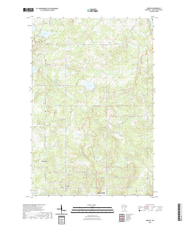
2022 Map of Arnold
USGS Topo · Published 2022About this map
Rice Lake and the northern outskirts of Duluth define this landscape north of Lake Superior in St. Louis County. The terrain is structured by prominent rises like Fiskett Ridge and Eagle Ridge, while water flows through a network of creeks including Amity Cr and the Lester River. The settlement of Arnold sits at a crossroads in the southern portion of the map, surrounded by a grid of rural routes such as Howard Gnesen Rd and Jean Duluth Rd.
Find a feature on this map
62 named features on this map. Tap any name to fly to it.
Don’t see what you’re looking for? This feature index may not catch every label — zoom into the map to look around manually.
Map Details
Editions of this 2022 Arnold Map
This is the sole edition of this map. No revisions or reprints were ever made.
Other maps of this area

1895 · Duluth
USGS Topo · 1:62,500

1953 · Lakewood
USGS Topo · 1:24,000

1953 · French River
USGS Topo · 1:24,000

1953 · Arnold
USGS Topo · 1:24,000

1953 · Duluth
USGS Topo · 1:24,000

1953 · Duluth Heights
USGS Topo · 1:24,000

1953 · Boulder Lake Reservoir
USGS Topo · 1:24,000

1953 · Fredenberg
USGS Topo · 1:24,000

1953 · Duluth
USGS Topo · 1:62,500

1953 · Ashland
USGS Topo · 1:250,000