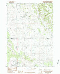
1984 Map of Arrowhead Reservoir
USGS Topo · Published 1984About this map
Pine Ridge dominates this Wyoming landscape, where the high plains transition through a series of named draws and canyons. The map records a complex drainage system defined by Little Piney Creek, Arch Creek, and the headwaters of the Green River. Water management in this semi-arid environment is evidenced by features like Hagerman Reservoir and the CB&Q Reservoir, the latter suggesting a historical link to the Chicago, Burlington and Quincy Railroad. The county line between Crook and Weston Counties bisects the terrain, showing how political boundaries were surveyed across these high-elevation ridges. Small-scale industrial activity appears at the Clay Pit, while the numerous named landmarks like Wolfe Draw and Philpott Canyon reflect the localized geography used by generations of ranchers and land managers in the Black Hills region.
Find a feature on this map
31 named features on this map. Tap any name to fly to it.
Don’t see what you’re looking for? This feature index may not catch every label — zoom into the map to look around manually.
Map Details
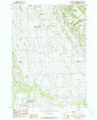
Editions of this 1984 Arrowhead Reservoir Map
2 editions found
Other maps of this area

1898 · Sundance
USGS Topo · 1:125,000

1902 · Sundance
USGS Topo · 1:125,000

1918 · Moorcroft
USGS Topo · 1:125,000

1954 · Gillette
USGS Topo · 1:250,000

1955 · Gillette
USGS Topo · 1:250,000

1957 · Nefsy Divide
USGS Topo · 1:62,500

1957 · Upton
USGS Topo · 1:62,500

1958 · Gillette
USGS Topo · 1:250,000
1958 · Inyan Kara Mountain
USGS Topo · 1:62,500

1958 · Sundance
USGS Topo · 1:62,500