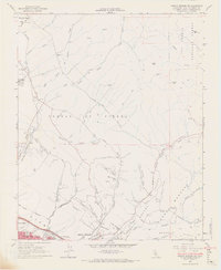
1965 Map of Arroyo Grande NE
USGS Topo · Published 1967About this map
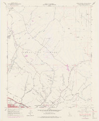
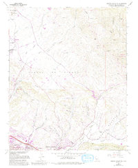
The coastal canyons and hills of San Luis Obispo County transition from rural ranchlands to developing suburbs in this mid-1960s study. The northern reaches are defined by the Corral De Piedra area, where Corral de Piedra Creek and its branches carve through the landscape near the community of Edna. The Southern Pacific railroad runs along the western edge, passing the San Luis Obispo Country Club and the Los Ranchos Sch.
Find a feature on this map
51 named features on this map. Tap any name to fly to it.
Don’t see what you’re looking for? This feature index may not catch every label — zoom into the map to look around manually.
Map Details
Editions of this 1965 Arroyo Grande NE Map
6 editions found
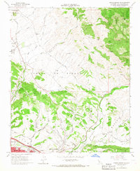
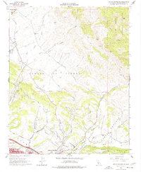
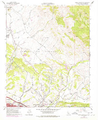
Other maps of this area

1897 · San Luis Obispo
USGS Topo · 1:62,500

1897 · Arroyo Grande
USGS Topo · 1:62,500

1900 · San Luis
USGS Topo · 1:125,000

1922 · Pozo
USGS Topo · 1:62,500

1922 · Nipomo
USGS Topo · 1:62,500

1942 · San Luis Obispo
USGS Topo · 1:62,500

1942 · Arroyo Grande
USGS Topo · 1:62,500

1947 · San Luis Obispo
USGS Topo · 1:250,000

1948 · San Luis Obispo
USGS Topo · 1:250,000

1952 · Arroyo Grande
USGS Topo · 1:62,500