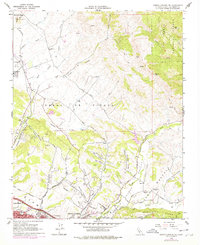
1965 Map of Arroyo Grande NE
USGS Topo · Published 1978About this map
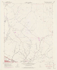
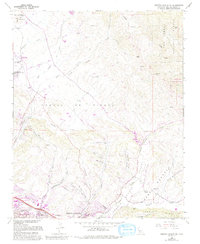
The coastal hills and agricultural valleys of San Luis Obispo County come into focus during this mid-1960s survey, updated with late-1970s suburban growth. The landscape is defined by the Southern Pacific railroad corridor, which links the small community of Edna to the growing coastal hubs of Pismo Beach and Grover City. Educational and social markers like Independence Sch and the San Luis Obispo Country Club illustrate the transition from rural ranching to modern residential expansion.
Find a feature on this map
57 named features on this map. Tap any name to fly to it.
Don’t see what you’re looking for? This feature index may not catch every label — zoom into the map to look around manually.
Map Details
Editions of this 1965 Arroyo Grande NE Map
6 editions found
Other maps of this area

1897 · San Luis Obispo
USGS Topo · 1:62,500

1897 · Arroyo Grande
USGS Topo · 1:62,500

1900 · San Luis
USGS Topo · 1:125,000

1922 · Pozo
USGS Topo · 1:62,500

1922 · Nipomo
USGS Topo · 1:62,500

1942 · San Luis Obispo
USGS Topo · 1:62,500

1942 · Arroyo Grande
USGS Topo · 1:62,500

1947 · San Luis Obispo
USGS Topo · 1:250,000

1948 · San Luis Obispo
USGS Topo · 1:250,000

1952 · Arroyo Grande
USGS Topo · 1:62,500