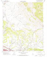
1965 Map of Arroyo Grande NE
USGS Topo · Published 1977About this map
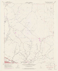
Agricultural lands and industrial sites define this Central Coast landscape between San Luis Obispo Co. and the growing coastal communities. The Southern Pacific railroad cuts through the northwestern corner near the settlement of Edna, while the southern reaches show the early residential expansion of Grover City and Pismo Beach. The map details a transition from the coastal hills to the eastern wilderness of the Los Padres National Forest, marked by rugged landmarks like Bald Mtn and Slide Hill.
Find a feature on this map
40 named features on this map. Tap any name to fly to it.
Don’t see what you’re looking for? This feature index may not catch every label — zoom into the map to look around manually.
Map Details
Editions of this 1965 Arroyo Grande NE Map
6 editions found
Other maps of this area

1897 · San Luis Obispo
USGS Topo · 1:62,500

1897 · Arroyo Grande
USGS Topo · 1:62,500

1900 · San Luis
USGS Topo · 1:125,000

1922 · Pozo
USGS Topo · 1:62,500

1922 · Nipomo
USGS Topo · 1:62,500

1942 · San Luis Obispo
USGS Topo · 1:62,500

1942 · Arroyo Grande
USGS Topo · 1:62,500

1947 · San Luis Obispo
USGS Topo · 1:250,000

1948 · San Luis Obispo
USGS Topo · 1:250,000

1952 · Arroyo Grande
USGS Topo · 1:62,500