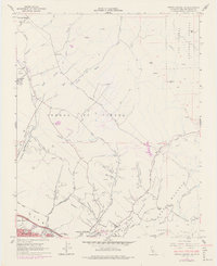
1965 Map of Arroyo Grande NE
USGS Topo · Published 1978About this map
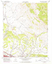
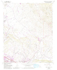
Santa Manuela Valley and the surrounding coastal hills are captured here in a period of agricultural and industrial expansion during the mid-1960s. The landscape is defined by its canyon systems, notably Carpenter Canyon and Poorman Canyon, which funnel toward the growing settlements of Grover City and Arroyo Grande. Educational sites such as Branch Sch and St Patricks Sch point to the area's established rural communities, while the presence of oil wells in the Tiber Canyon area highlights the region's energy resources. The transportation network is anchored by the Southern Pacific railroad line, which skirts the western edge near Edna, and the winding Huasna Road that follows Tar Spring Creek into the interior. An airway beacon on Islay Hill serves as a prominent navigational landmark for the era.
Find a feature on this map
54 named features on this map. Tap any name to fly to it.
Don’t see what you’re looking for? This feature index may not catch every label — zoom into the map to look around manually.
Map Details
Editions of this 1965 Arroyo Grande NE Map
6 editions found
Other maps of this area

1897 · San Luis Obispo
USGS Topo · 1:62,500

1897 · Arroyo Grande
USGS Topo · 1:62,500

1900 · San Luis
USGS Topo · 1:125,000

1922 · Pozo
USGS Topo · 1:62,500

1922 · Nipomo
USGS Topo · 1:62,500

1942 · San Luis Obispo
USGS Topo · 1:62,500

1942 · Arroyo Grande
USGS Topo · 1:62,500

1947 · San Luis Obispo
USGS Topo · 1:250,000

1948 · San Luis Obispo
USGS Topo · 1:250,000

1952 · Arroyo Grande
USGS Topo · 1:62,500