
1897 Map of Arroyo Grande
USGS Topo · Published 1903About this map
Mallagh Landing and the rugged coastline of San Luis Obispo Bay define this late 19th-century coastal landscape. The region's early industrial and recreational roots are visible in the Asphalt Mines near Edna and the therapeutic destination of Newsom Springs. Two major rail lines, the Southern Pacific R. R. and the Pacific Coast R. R., intersect the terrain, connecting coastal settlements like Pismo and Oceano to the interior valleys.
Find a feature on this map
83 named features on this map. Tap any name to fly to it.
Don’t see what you’re looking for? This feature index may not catch every label — zoom into the map to look around manually.
Map Details
Editions of this 1897 Arroyo Grande Map
5 editions found
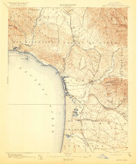
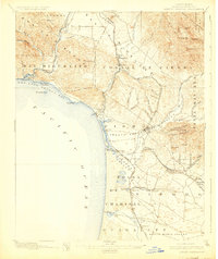
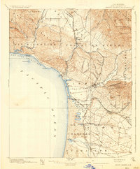
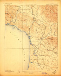
Other maps of this area

1897 · Port Harford
USGS Topo · 1:62,500

1897 · San Luis Obispo
USGS Topo · 1:62,500

1897 · Cayucos
USGS Topo · 1:62,500

1900 · San Luis
USGS Topo · 1:125,000

1905 · Guadalupe
USGS Topo · 1:125,000

1905 · Lompoc
USGS Topo · 1:125,000

1922 · Pozo
USGS Topo · 1:62,500

1922 · Nipomo
USGS Topo · 1:62,500

1937 · Cayucos
USGS Topo · 1:62,500

1941 · Port San Luis
USGS Topo · 1:62,500