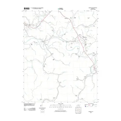
2010 Map of Artemus
USGS Topo · Published 2010About this map
The Cumberland River forms a wide meander at Davis Bend, anchoring a landscape defined by the intricate creek systems and hollows of eastern Kentucky. This area, recorded in 2010, shows a network of established settlements such as Artemus, Flat Lick, and East Jellico, many of which grew around the river and regional road corridors. The local geography is heavily punctuated by family and community history, evidenced by more than twenty named burial grounds including Evergreen Cemetery, Morris Cemetery, and the Tinsley Cemetery.
Find a feature on this map
102 named features on this map. Tap any name to fly to it.
Don’t see what you’re looking for? This feature index may not catch every label — zoom into the map to look around manually.
Map Details
Editions of this 2010 Artemus Map
This is the sole edition of this map. No revisions or reprints were ever made.
Other maps of this area

1886 · Cumberland Gap
USGS Topo · 1:125,000

1888 · Cumberland Gap
USGS Topo · 1:125,000

1891 · Cumberland Gap
USGS Topo · 1:125,000

1903 · Pineville
USGS Topo · 1:48,000

1903 · Middlesboro
USGS Topo · 1:48,000

1927 · Middlesboro
USGS Topo · 1:62,500

1930 · Middlesboro
USGS Topo · 1:62,500

1952 · Barbourville
USGS Topo · 1:24,000

1952 · Heidrick
USGS Topo · 1:24,000

1952 · Fount
USGS Topo · 1:24,000