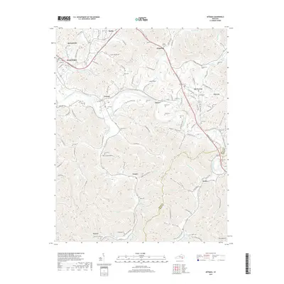
2019 Map of Artemus
USGS Topo · Published 2019About this map
The Cumberland River carves a winding path through this Knox County landscape, anchoring a series of small riverside settlements including Artemus, Himyar, and Flat Lick. This area in southeastern Kentucky is characterized by its deep hollows and creek-fed valleys, where family names and local history are preserved in dozens of small burial grounds like Hammond Cem and Binghamtown Cem. The transportation corridor follows the river valley and the Cumberland Gap Pkwy, connecting the larger hub of Barbourville to the outlying communities of Trosper and Tinsley. This survey captures the intricate network of hollows such as Hogpen Hollow and Possum Hollow, revealing how the topography dictated the layout of homesteads and winding roads like Old Stinking Creek Rd. The boundary with Bell County is visible in the southeastern quadrant, marking the transition toward Pine Mountain.
Find a feature on this map
129 named features on this map. Tap any name to fly to it.
Don’t see what you’re looking for? This feature index may not catch every label — zoom into the map to look around manually.
Map Details
Editions of this 2019 Artemus Map
This is the sole edition of this map. No revisions or reprints were ever made.
Other maps of this area

1886 · Cumberland Gap
USGS Topo · 1:125,000

1888 · Cumberland Gap
USGS Topo · 1:125,000

1891 · Cumberland Gap
USGS Topo · 1:125,000

1903 · Pineville
USGS Topo · 1:48,000

1903 · Middlesboro
USGS Topo · 1:48,000

1927 · Middlesboro
USGS Topo · 1:62,500

1930 · Middlesboro
USGS Topo · 1:62,500

1952 · Barbourville
USGS Topo · 1:24,000

1952 · Heidrick
USGS Topo · 1:24,000

1952 · Fount
USGS Topo · 1:24,000