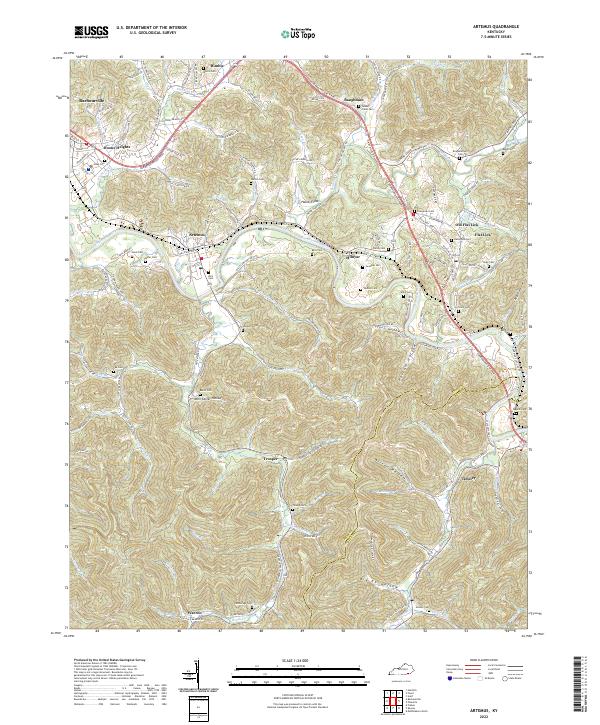
2022 Map of Artemus
USGS Topo · Published 2022About this map
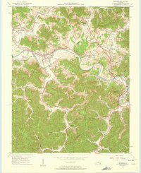
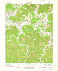
The Cumberland River carves a winding path through the heart of this Knox County terrain, shaping the settlement patterns of Artemus and Himyar. This 2022 survey captures a landscape defined by its narrow hollows and numerous family cemeteries, including Sowders Cem, Rice Cem, and Turkey Creek Cem, which serve as vital markers for local genealogists. The modern transportation corridor of the Cumberland Gap Pkwy slices through the topography, connecting older communities like Flat Lick and Baughman to the surrounding coal-bearing hills.
Find a feature on this map
118 named features on this map. Tap any name to fly to it.
Don’t see what you’re looking for? This feature index may not catch every label — zoom into the map to look around manually.
Map Details
Editions of this 2022 Artemus Map
This is the sole edition of this map. No revisions or reprints were ever made.