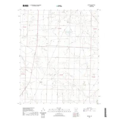
2020 Map of Artesian
USGS Topo · Published 2020About this map
The small settlement of Artesian sits amidst a network of drainage creeks in the Arkansas timberlands, reflecting the rural character of Calhoun County. This area is defined by its complex hydrology, where Little Champagnolle Cr and Hurricane Cr create a low-lying landscape shaped by seasonal water movement. The map identifies key local landmarks such as Friendship Cem and Faustina Cem, providing essential points of reference for genealogists researching family ties in this part of the state.
Find a feature on this map
65 named features on this map. Tap any name to fly to it.
Don’t see what you’re looking for? This feature index may not catch every label — zoom into the map to look around manually.
Map Details
Editions of this 2020 Artesian Map
This is the sole edition of this map. No revisions or reprints were ever made.
Other maps of this area

1903 · Camden
USGS Topo · 1:125,000

1934 · Moro Bay
USGS Topo · 1:62,500

1938 · Moro Bay
USGS Topo · 1:62,500

1939 · Moro Bay
USGS Topo · 1:62,500

1953 · El Dorado
USGS Topo · 1:250,000

1957 · El Dorado
USGS Topo · 1:250,000

1958 · El Dorado
USGS Topo · 1:250,000

1960 · El Dorado
USGS Topo · 1:250,000

1962 · Smackover NE
USGS Topo · 1:24,000
1962 · Calion
USGS Topo · 1:24,000