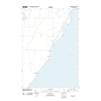
2011 Map of Arthur Bay
USGS Topo · Published 2011About this map
The Arthur Bay shoreline of Menominee County defines this coastal landscape, where the waters of Lake Michigan meet the wooded lowlands of Michigan's Upper Peninsula. Small settlements and landing points dot the highway m35, which serves as the primary artery connecting coastal communities. To the south, Johnson Landing marks a traditional point of access near the mouth of Johnson Creek, while the cluster at Beach Grove sits just inland from Rochereau Point.
Find a feature on this map
17 named features on this map. Tap any name to fly to it.
Don’t see what you’re looking for? This feature index may not catch every label — zoom into the map to look around manually.
Map Details
Editions of this 2011 Arthur Bay Map
This is the sole edition of this map. No revisions or reprints were ever made.
Other maps of this area

1939 · Marinette
USGS Topo · 1:48,000

1949 · Stephenson
USGS Topo · 1:48,000

1954 · Escanaba
USGS Topo · 1:250,000

1957 · Escanaba
USGS Topo · 1:250,000

1958 · Escanaba
USGS Topo · 1:250,000

1961 · Chambers Island
USGS Topo · 1:62,500

1963 · Cedar River
USGS Topo · 1:62,500
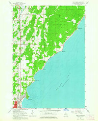
1963 · Birch Creek
USGS Topo · 1:24,000

1963 · Stephenson
USGS Topo · 1:62,500
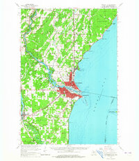
1963 · Marinette
USGS Topo · 1:62,500