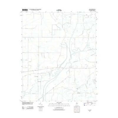
2012 Map of Asa
USGS Topo · Published 2012About this map
The Little Tallahatchie River meanders across this Panola County landscape, shaping the development of rural settlements like Asa and Chapeltown. The terrain is defined by low-lying bottomlands and drainage features such as Running Slough Ditch and Hayne Cr, while Nelsons Bluff provides a distinct change in elevation near the river's path. Local infrastructure includes the Squirrel Bridge and the Birdsong Landing Strip, reflecting a mix of traditional river crossings and modern utility.
Find a feature on this map
50 named features on this map. Tap any name to fly to it.
Don’t see what you’re looking for? This feature index may not catch every label — zoom into the map to look around manually.
Map Details
Editions of this 2012 Asa Map
This is the sole edition of this map. No revisions or reprints were ever made.
Other maps of this area

1932 · Sledge
USGS Topo · 1:48,000

1935 · Crowder
USGS Topo · 1:62,500

1935 · Sledge
USGS Topo · 1:62,500

1939 · Sledge
USGS Topo · 1:62,500

1939 · Crowder
USGS Topo · 1:62,500

1948 · Helena
USGS Topo · 1:250,000

1950 · Helena
USGS Topo · 1:250,000

1952 · Sardis
USGS Topo · 1:62,500

1953 · Sardis
USGS Topo · 1:62,500

1954 · Oakland
USGS Topo · 1:62,500