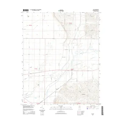
2015 Map of Asa
USGS Topo · Published 2015About this map
Viney Rough occupies the northern reaches of this Panola County landscape, where the alluvial terrain transitions toward the meandering path of the Little Tallahatchie River. This survey documents the rural character of the region, defined by an intricate network of drainage ditches and bayous that have historically shaped local land use and agriculture. The map captures the specialized topography of the Mississippi Delta's edge, illustrating how the natural hydrography and man-made water management features dictate the layout of roads and small-scale settlements. While the area is dominated by agricultural tracts, the preservation of place names like Viney Rough provides a link to the early community identities of northwestern Mississippi.
Find a feature on this map
1 named feature on this map. Tap any name to fly to it.
Don’t see what you’re looking for? This feature index may not catch every label — zoom into the map to look around manually.
Map Details
Editions of this 2015 Asa Map
This is the sole edition of this map. No revisions or reprints were ever made.
Other maps of this area

1932 · Sledge
USGS Topo · 1:48,000

1935 · Crowder
USGS Topo · 1:62,500

1935 · Sledge
USGS Topo · 1:62,500

1939 · Sledge
USGS Topo · 1:62,500

1939 · Crowder
USGS Topo · 1:62,500

1948 · Helena
USGS Topo · 1:250,000

1950 · Helena
USGS Topo · 1:250,000

1952 · Sardis
USGS Topo · 1:62,500

1953 · Sardis
USGS Topo · 1:62,500

1954 · Oakland
USGS Topo · 1:62,500