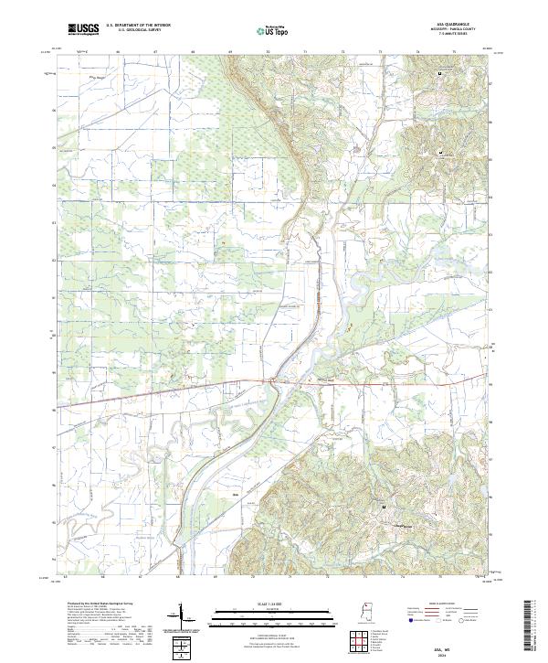
2024 Map of Asa
USGS Topo · Published 2024About this map
The Little Tallahatchie River dominates this Panola County landscape, where the meandering channel of the Old Little Tallahatchie River still traces the valley floor alongside newer drainage works like Running Slough Ditch. This 2024 survey documents the rural character of the settlements at Asa and Chapeltown, where local history is anchored by the Chapeltown Cem, Concord-Black Cem, and McIvor Baptist Church Cem. The terrain transitions from the low-lying Vance Bottom and Rayburn Bayou to the elevated ground of Nelsons Bluff and the wooded area of Viney Rough. A network of family-named roads, including Tom Cooper Rd and Jaudon Rd, connects the dispersed homesteads and agricultural tracts. The intricate water system, featuring Peach Creek, Armstead Creek, and Lake Susie, illustrates the managed hydrology essential to this riverfront region in northern Mississippi.
Find a feature on this map
52 named features on this map. Tap any name to fly to it.
Don’t see what you’re looking for? This feature index may not catch every label — zoom into the map to look around manually.
Map Details
Editions of this 2024 Asa Map
This is the sole edition of this map. No revisions or reprints were ever made.
Other maps of this area

1932 · Sledge
USGS Topo · 1:48,000

1935 · Crowder
USGS Topo · 1:62,500

1935 · Sledge
USGS Topo · 1:62,500

1939 · Sledge
USGS Topo · 1:62,500

1939 · Crowder
USGS Topo · 1:62,500

1948 · Helena
USGS Topo · 1:250,000

1950 · Helena
USGS Topo · 1:250,000

1952 · Sardis
USGS Topo · 1:62,500

1953 · Sardis
USGS Topo · 1:62,500

1954 · Oakland
USGS Topo · 1:62,500