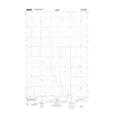
2013 Map of Asbury
USGS Topo · Published 2013About this map
Asbury anchors the southern portion of this Chippewa County landscape, a region defined by an extensive network of drainage and creek systems that support its agricultural character. The map illustrates the careful management of the local hydrology, featuring County Ditch Number Seventy alongside natural watercourses like Palmer Cr, Spring Cr, and the descriptively named Dry Weather Cr. This infrastructure underscores the area's transition from prairie to highly productive farmland.
Find a feature on this map
25 named features on this map. Tap any name to fly to it.
Don’t see what you’re looking for? This feature index may not catch every label — zoom into the map to look around manually.
Map Details
Editions of this 2013 Asbury Map
This is the sole edition of this map. No revisions or reprints were ever made.
Other maps of this area

1953 · New Ulm
USGS Topo · 1:250,000

1953 · Saint Cloud
USGS Topo · 1:250,000

1957 · Saint Cloud
USGS Topo · 1:250,000

1957 · New Ulm
USGS Topo · 1:250,000

1958 · New Ulm
USGS Topo · 1:250,000

1958 · Saint Cloud
USGS Topo · 1:250,000

1958 · Kerkhoven SW
USGS Topo · 1:24,000

1958 · Gracelock
USGS Topo · 1:24,000

1958 · Gracelock SW
USGS Topo · 1:24,000

1965 · Montevideo
USGS Topo · 1:24,000