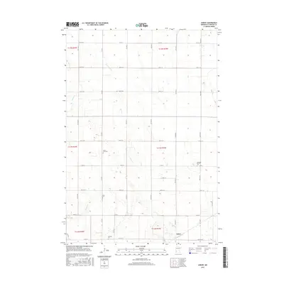
2016 Map of Asbury
USGS Topo · Published 2016About this map
The small settlement of Asbury serves as the focal point for this rural Chippewa County landscape, where agriculture and genealogy intersect in the Minnesota prairie. The terrain is defined by a series of subtle drainage systems including Palmer Cr, Brafees Cr, and Dry Weather Cr, which wind through a strictly organized grid of county roads and section lines. For local historians and genealogists, the map is particularly valuable for its precise location of several community burial grounds, such as Leenthrop Memorial Cem and Saron Cem. These sites, along with Swensson Cem and Palmer Creek Cem, mark the enduring footprints of early families and congregations in a region where the vast majority of the land remains dedicated to open fields and seasonal creek beds.
Find a feature on this map
35 named features on this map. Tap any name to fly to it.
Don’t see what you’re looking for? This feature index may not catch every label — zoom into the map to look around manually.
Map Details
Editions of this 2016 Asbury Map
This is the sole edition of this map. No revisions or reprints were ever made.
Other maps of this area

1953 · New Ulm
USGS Topo · 1:250,000

1953 · Saint Cloud
USGS Topo · 1:250,000

1957 · Saint Cloud
USGS Topo · 1:250,000

1957 · New Ulm
USGS Topo · 1:250,000

1958 · New Ulm
USGS Topo · 1:250,000

1958 · Saint Cloud
USGS Topo · 1:250,000

1958 · Kerkhoven SW
USGS Topo · 1:24,000

1958 · Gracelock
USGS Topo · 1:24,000

1958 · Gracelock SW
USGS Topo · 1:24,000

1965 · Montevideo
USGS Topo · 1:24,000