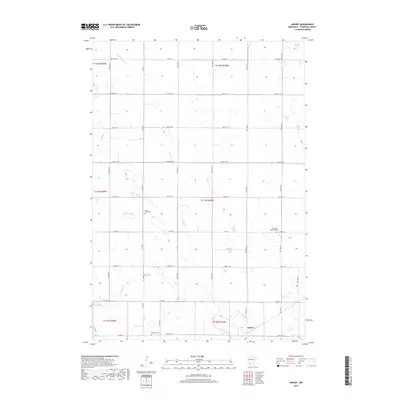
2019 Map of Asbury
USGS Topo · Published 2019About this map
Asbury and its surrounding agricultural landscape in Chippewa County are defined by a network of drainage and local history. The township is primarily composed of large-scale farming plots partitioned by a rigid grid of rural roads such as Co Rd 16 and 100th St SE. Scattered across this prairie landscape are several sites of genealogical importance, including Leenthrop Memorial Cem and Saron Cem, which serve as physical anchors for the area's legacy of family settlement.
Find a feature on this map
31 named features on this map. Tap any name to fly to it.
Don’t see what you’re looking for? This feature index may not catch every label — zoom into the map to look around manually.
Map Details
Editions of this 2019 Asbury Map
This is the sole edition of this map. No revisions or reprints were ever made.
Other maps of this area

1953 · New Ulm
USGS Topo · 1:250,000

1953 · Saint Cloud
USGS Topo · 1:250,000

1957 · Saint Cloud
USGS Topo · 1:250,000

1957 · New Ulm
USGS Topo · 1:250,000

1958 · New Ulm
USGS Topo · 1:250,000

1958 · Saint Cloud
USGS Topo · 1:250,000

1958 · Kerkhoven SW
USGS Topo · 1:24,000

1958 · Gracelock
USGS Topo · 1:24,000

1958 · Gracelock SW
USGS Topo · 1:24,000

1965 · Montevideo
USGS Topo · 1:24,000