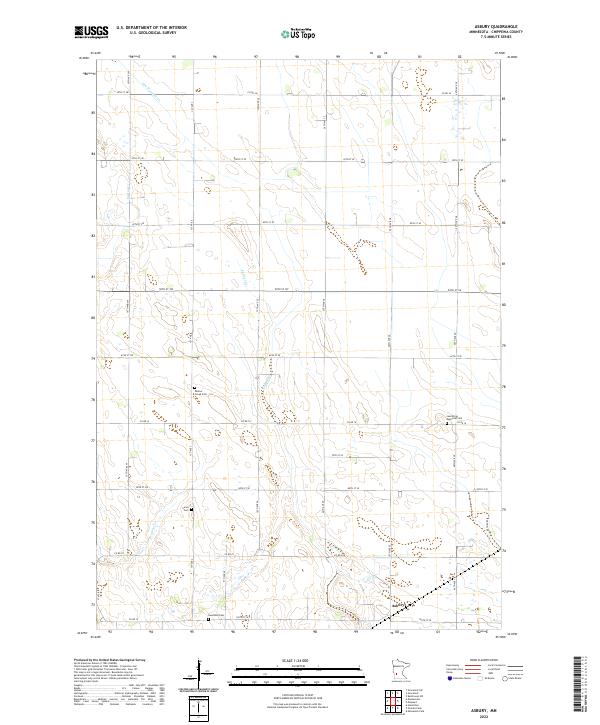
2022 Map of Asbury
USGS Topo · Published 2022About this map
Asbury occupies the southeastern corner of this agricultural landscape in Chippewa County, where a grid of rural roads connects several notable burying grounds and small waterways. The terrain is defined by the drainage of Palmer Cr and Dry Weather Cr, with Spring Cr and Brafees Cr also carving through the prairie. For genealogists and local historians, the sheet is particularly valuable for its documentation of four distinct cemeteries: Leenthrop Memorial Cem, Saron Cem, Swensson Cem, and Palmer Creek Cem. These locations, often the only remaining physical landmarks of early rural congregations or family settlements, are situated along county routes like Co RD 16 and Co RD 39. The map preserves the late-20th and early-21st-century configuration of these farmstead-connected roads and creek systems before modern developments might alter the historic township boundaries.
Find a feature on this map
41 named features on this map. Tap any name to fly to it.
Don’t see what you’re looking for? This feature index may not catch every label — zoom into the map to look around manually.
Map Details
Editions of this 2022 Asbury Map
This is the sole edition of this map. No revisions or reprints were ever made.
Other maps of this area

1953 · New Ulm
USGS Topo · 1:250,000

1953 · Saint Cloud
USGS Topo · 1:250,000

1957 · Saint Cloud
USGS Topo · 1:250,000

1957 · New Ulm
USGS Topo · 1:250,000

1958 · New Ulm
USGS Topo · 1:250,000

1958 · Saint Cloud
USGS Topo · 1:250,000

1958 · Kerkhoven SW
USGS Topo · 1:24,000

1958 · Gracelock
USGS Topo · 1:24,000

1958 · Gracelock SW
USGS Topo · 1:24,000

1965 · Montevideo
USGS Topo · 1:24,000