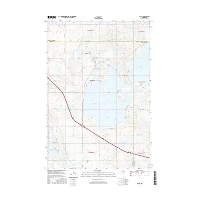
2016 Map of Ashby
USGS Topo · Published 2016About this map
Ashby serves as the central hub for this portion of Grant County, positioned amidst a dense collection of glacial lakes that define the local landscape. The town's proximity to Pelican Lake and the smaller Melby Lake suggests a community deeply tied to the water, while the presence of Melby Airport indicates local aviation activity. Cultural and historical sites are scattered throughout the region, notably the Native American Burial Grounds located on the eastern shore of Ask Lake and the Pelican Lake Cem situated just south of the town center. The map reveals a complex hydrography extending westward toward Pomme de Terre Lake and Shady Grove Lake, illustrating the post-glacial geography common to this section of Minnesota. Road networks like Co HWY 82 and Pelican Heights Rd provide access to seasonal lakeside developments and farming tracts.
Find a feature on this map
68 named features on this map. Tap any name to fly to it.
Don’t see what you’re looking for? This feature index may not catch every label — zoom into the map to look around manually.
Map Details
Editions of this 2016 Ashby Map
This is the sole edition of this map. No revisions or reprints were ever made.
Other maps of this area

1911 · Barrett
USGS Topo · 1:62,500

1913 · Ashby
USGS Topo · 1:62,500

1953 · Brainerd
USGS Topo · 1:250,000

1953 · Saint Cloud
USGS Topo · 1:250,000

1957 · Brainerd
USGS Topo · 1:250,000

1957 · Saint Cloud
USGS Topo · 1:250,000

1958 · Saint Cloud
USGS Topo · 1:250,000

1958 · Brainerd
USGS Topo · 1:250,000

1965 · Brainerd
USGS Topo · 1:250,000

1966 · Quam Lake
USGS Topo · 1:24,000