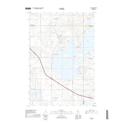
2019 Map of Ashby
USGS Topo · Published 2019About this map
Ashby sits as the primary hub of this landscape where the borders of Grant, Douglas, and Otter Tail counties converge. The geography is defined by a dense concentration of glacial basins, ranging from the expansive Pelican Lake and Lake Christina to smaller waters like Werson Lake and Shady Grove Lake. A site of significant cultural importance, the Native American Burial Grounds are noted on a peninsula extending into Pelican Lake, offering a glimpse into the deep indigenous history of the region. Transportation and infrastructure are represented by the Melby Airport and a network of county roads like Co RD 82, which facilitate movement through this lake-rich terrain. Genealogists will find the Pelican Lake Cem and Erdahl Cem as preserved landmarks of the local community's heritage during this modern era.
Find a feature on this map
56 named features on this map. Tap any name to fly to it.
Don’t see what you’re looking for? This feature index may not catch every label — zoom into the map to look around manually.
Map Details
Editions of this 2019 Ashby Map
This is the sole edition of this map. No revisions or reprints were ever made.
Other maps of this area

1911 · Barrett
USGS Topo · 1:62,500

1913 · Ashby
USGS Topo · 1:62,500

1953 · Brainerd
USGS Topo · 1:250,000

1953 · Saint Cloud
USGS Topo · 1:250,000

1957 · Brainerd
USGS Topo · 1:250,000

1957 · Saint Cloud
USGS Topo · 1:250,000

1958 · Saint Cloud
USGS Topo · 1:250,000

1958 · Brainerd
USGS Topo · 1:250,000

1965 · Brainerd
USGS Topo · 1:250,000

1966 · Quam Lake
USGS Topo · 1:24,000