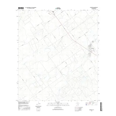
2016 Map of Asherton
USGS Topo · Published 2016About this map
Asherton serves as the primary hub for this portion of the Texas brush country, with a street grid that includes named thoroughfares like Zaragosa Ave and Diaz Ave. The landscape is defined by its drainage systems, where ephemeral waterways such as El Barrosa Cr and El Morito Cr cut through the arid terrain. These creeks and the nearby Marmion Lake are central features in a region dominated by ranching interests, evidenced by an extensive network of access roads including Ranch Rd 1557 and Ranch Rd 1558. To the north, the elevation rises toward Carrizo Hill, a prominent landmark overlooking the surrounding plains and the winding path of Carrizo Cr. The density of ranch roads and specialized lanes like Joe Garcia Ln reflects a modern agricultural landscape deeply tied to family-held land and local transit routes.
Find a feature on this map
50 named features on this map. Tap any name to fly to it.
Don’t see what you’re looking for? This feature index may not catch every label — zoom into the map to look around manually.
Map Details
Editions of this 2016 Asherton Map
This is the sole edition of this map. No revisions or reprints were ever made.
Other maps of this area

1929 · Cotulla
USGS Topo · 1:125,000

1932 · Valley Wells
USGS Topo · 1:62,500

1939 · Carrizo Springs
USGS Topo · 1:62,500

1939 · Big Wells
USGS Topo · 1:62,500

1940 · Asherton
USGS Topo · 1:62,500

1940 · Catarina
USGS Topo · 1:62,500

1953 · Crystal City
USGS Topo · 1:250,000

1955 · Crystal City
USGS Topo · 1:250,000

1961 · Crystal City
USGS Topo · 1:250,000

1968 · Crystal City
USGS Topo · 1:250,000