
Loading...
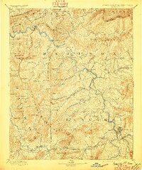
Loading map...1901 Map of Asheville
USGS Topo · Published 1901About this map
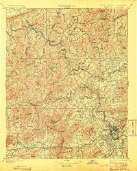
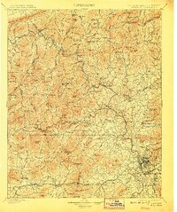
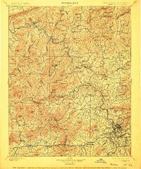
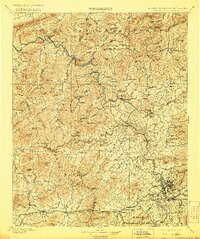
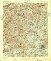
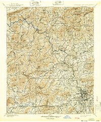
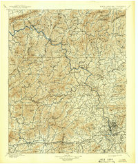
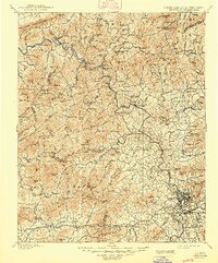
Asheville and its surrounding mountain gaps are revealed in this 1890s survey, showing a region defined by the convergence of steep terrain and early rail corridors. The Knoxville and Asheville Line follows the winding course of the French Broad River, passing through the resort town of Hot Springs and the strategic river crossing at Barnard. To the south, Biltmore and West Asheville emerge near the junction of the Swannanoa River and Hominy Creek, signaling the city's turn-of-the-century expansion.
Find a feature on this map
170 named features on this map. Tap any name to fly to it.
Don’t see what you’re looking for? This feature index may not catch every label — zoom into the map to look around manually.
Map Details
Date Portrayed1901
Date Published1901
PublisherU.S. Geological Survey
Map TypeTopographic
Scale1:125000
Physical Dimensions16.44 x 19.65 inches
Editions of this 1901 Asheville Map
9 editions found
Historical Maps of Murphy Junction Through Time
8 maps found
Featured Locations
Source Details
SourceU.S. Geological Survey
CopyrightPublic Domain