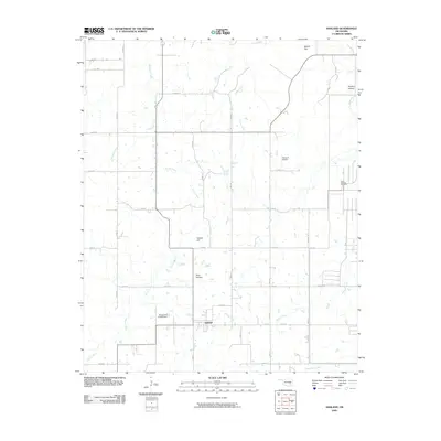
2009 Map of Ashland
USGS Topo · Published 2009About this map
Ashland is a central point of reference in this corner of Pittsburg County, surrounded by a network of drainage systems that shape the local topography. Waterways such as Ranch Creek, Sandy Creek, and Hominy Creek flow through the territory, feeding into structures like the Oknoname 121008 Dam. The landscape is defined by its subtle elevation changes, notably at Yellow Hill and Bethel Hill, with numerous hollows like Pine Hollow and Hudlow Hollow carving through the terrain.
Find a feature on this map
40 named features on this map. Tap any name to fly to it.
Don’t see what you’re looking for? This feature index may not catch every label — zoom into the map to look around manually.
Map Details
Editions of this 2009 Ashland Map
This is the sole edition of this map. No revisions or reprints were ever made.
Other maps of this area

1896 · Coalgate
USGS Topo · 1:125,000

1898 · McAlester
USGS Topo · 1:125,000

1899 · Coalgate
USGS Topo · 1:125,000

1900 · Coalgate
USGS Topo · 1:125,000

1909 · Mc Alester
USGS Topo · 1:125,000

1950 · Mcalester
USGS Topo · 1:250,000

1957 · Ardmore
USGS Topo · 1:250,000

1962 · McAlester
USGS Topo · 1:250,000

1963 · Ardmore
USGS Topo · 1:250,000

1965 · McAlester
USGS Topo · 1:250,000