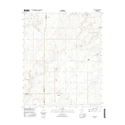
2016 Map of Ashland
USGS Topo · Published 2016About this map
Ashland serves as the primary settlement on this Pittsburg County landscape, situated near the intersection of several rural roads. The area is defined by its numerous creeks and hollows, including Sassafras Creek and Hominy Creek, which drain the varied topography of Bethel Hill and Yellow Hill. For those researching family history, the map identifies three distinct burial sites: Ashland Cemetery, Ward Springs Cemetery, and Bohannon Cemetery, reflecting the long-established rural community structure of the region. A notable modern landmark is the Flying H Airport, located west of the small settlement of Ward Springs. The map also captures the political geography of the area, showing the meeting points of Hughes, Pittsburg, and Coal counties, which often influenced early commerce and property lines.
Find a feature on this map
68 named features on this map. Tap any name to fly to it.
Don’t see what you’re looking for? This feature index may not catch every label — zoom into the map to look around manually.
Map Details
Editions of this 2016 Ashland Map
This is the sole edition of this map. No revisions or reprints were ever made.
Other maps of this area

1896 · Coalgate
USGS Topo · 1:125,000

1898 · McAlester
USGS Topo · 1:125,000

1899 · Coalgate
USGS Topo · 1:125,000

1900 · Coalgate
USGS Topo · 1:125,000

1909 · Mc Alester
USGS Topo · 1:125,000

1950 · Mcalester
USGS Topo · 1:250,000

1957 · Ardmore
USGS Topo · 1:250,000

1962 · McAlester
USGS Topo · 1:250,000

1963 · Ardmore
USGS Topo · 1:250,000

1965 · McAlester
USGS Topo · 1:250,000