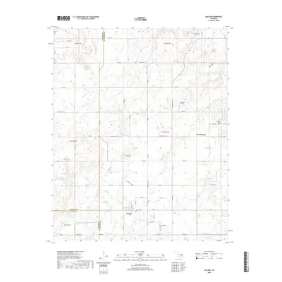
2018 Map of Ashland
USGS Topo · Published 2018About this map
The town of Ashland and the community of Ward Springs anchor this southeastern Oklahoma landscape where the borders of Pittsburg, Hughes, and Coal counties converge. The terrain is defined by a series of drainages, including Hegwood Cr and Sandy Cr, which carve through the land between prominent elevations like Yellow Hill and Bethel Hill. This area shows a characteristic pattern of rural development, with a grid of section-line roads such as Ashland Rd and Co Line Rd connecting isolated homesteads and local landmarks.
Find a feature on this map
70 named features on this map. Tap any name to fly to it.
Don’t see what you’re looking for? This feature index may not catch every label — zoom into the map to look around manually.
Map Details
Editions of this 2018 Ashland Map
This is the sole edition of this map. No revisions or reprints were ever made.
Other maps of this area

1896 · Coalgate
USGS Topo · 1:125,000

1898 · McAlester
USGS Topo · 1:125,000

1899 · Coalgate
USGS Topo · 1:125,000

1900 · Coalgate
USGS Topo · 1:125,000

1909 · Mc Alester
USGS Topo · 1:125,000

1950 · Mcalester
USGS Topo · 1:250,000

1957 · Ardmore
USGS Topo · 1:250,000

1962 · McAlester
USGS Topo · 1:250,000

1963 · Ardmore
USGS Topo · 1:250,000

1965 · McAlester
USGS Topo · 1:250,000