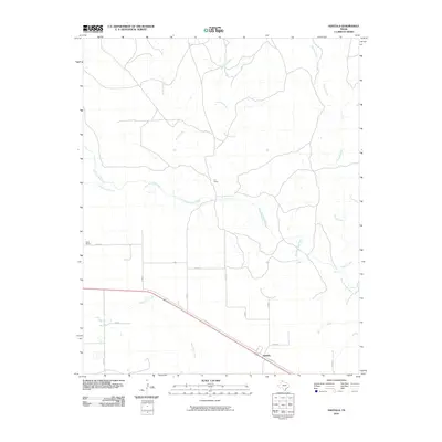
2010 Map of Ashtola
USGS Topo · Published 2010About this map
Ashtola and the expansive ranchlands of Donley County are defined by the winding course of the Salt Fork Red River and its numerous tributaries. This survey captures a landscape dominated by large-scale agricultural operations, including the S J Ranch and Swift Ranch, where the terrain begins to slope toward the river basin. The map reveals the intricate network of drainage systems that shape the panhandle plains, from the northern reaches of Record Creek and Rawhide Creek to the southern paths of McCullum Creek and Cottonwood Creek. Most of the area's infrastructure is concentrated along a corridor of county roads and local routes like Juliet Rd, which connect these sprawling properties across the relatively flat but creek-dissected geography of the Texas High Plains.
Find a feature on this map
21 named features on this map. Tap any name to fly to it.
Don’t see what you’re looking for? This feature index may not catch every label — zoom into the map to look around manually.
Map Details
Editions of this 2010 Ashtola Map
This is the sole edition of this map. No revisions or reprints were ever made.
Other maps of this area

1954 · Amarillo
USGS Topo · 1:250,000

1954 · Plainview
USGS Topo · 1:250,000

1958 · Amarillo
USGS Topo · 1:250,000

1958 · Plainview
USGS Topo · 1:250,000

1960 · Groom
USGS Topo · 1:62,500

1962 · Roach Ranch
USGS Topo · 1:24,000

1963 · Blue Hole Springs
USGS Topo · 1:24,000

1963 · Clarendon
USGS Topo · 1:24,000

1963 · Buffalo Arroyo
USGS Topo · 1:24,000

1964 · Jericho
USGS Topo · 1:24,000