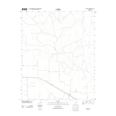
2012 Map of Ashtola
USGS Topo · Published 2012About this map
The Salt Fork Red River snakes through this Donley County landscape, defining the local topography as it flows eastward. This region is characterized by established ranching operations, including the S J Ranch and Swift Ranch. The small settlement of Ashtola serves as a local hub, situated at the junction of Ranch Road 2162 and several county routes.
Find a feature on this map
24 named features on this map. Tap any name to fly to it.
Don’t see what you’re looking for? This feature index may not catch every label — zoom into the map to look around manually.
Map Details
Editions of this 2012 Ashtola Map
This is the sole edition of this map. No revisions or reprints were ever made.
Other maps of this area

1954 · Amarillo
USGS Topo · 1:250,000

1954 · Plainview
USGS Topo · 1:250,000

1958 · Amarillo
USGS Topo · 1:250,000

1958 · Plainview
USGS Topo · 1:250,000

1960 · Groom
USGS Topo · 1:62,500

1962 · Roach Ranch
USGS Topo · 1:24,000

1963 · Blue Hole Springs
USGS Topo · 1:24,000

1963 · Clarendon
USGS Topo · 1:24,000

1963 · Buffalo Arroyo
USGS Topo · 1:24,000

1964 · Jericho
USGS Topo · 1:24,000