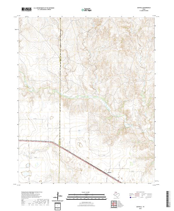
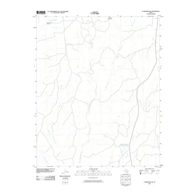
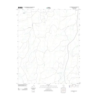
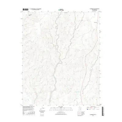
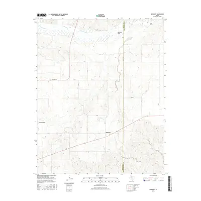
2022 Map of Ashtola
USGS Topo · Published 2022About this map
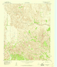
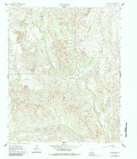
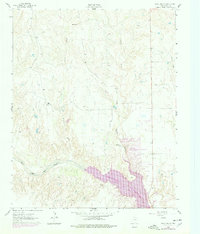
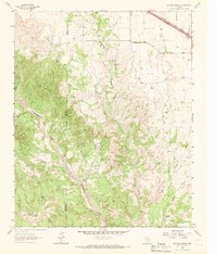
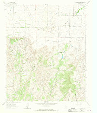
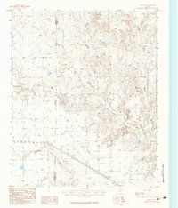
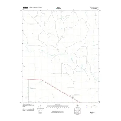
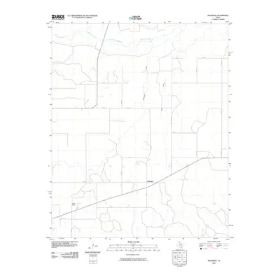
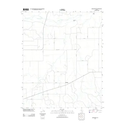
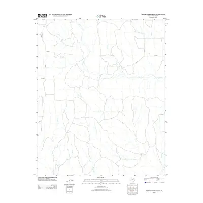
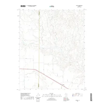
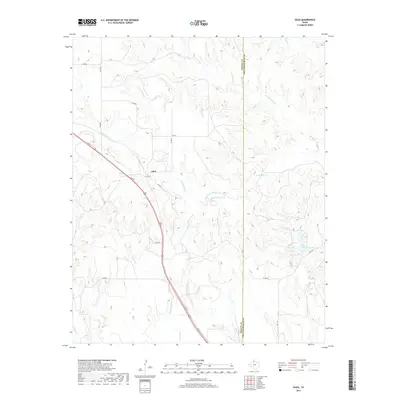
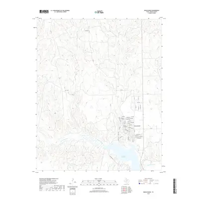
Ashtola sits at the southern edge of this West Texas landscape, where the agricultural plains meet the broken terrain of the Panhandle's drainage systems. The survey area is defined by the winding course of the Salt Fork Red River, which cuts a broad path through the center of the quadrangle. This river is fed by a network of seasonal tributaries, including Rawhide Creek, Record Creek, and Sandy Creek, creating a complex series of draws and canyons that contrast with the organized grid of county roads on the higher ground. The boundary between Armstrong and Donley counties runs vertically through the map, marking a transition in land management. Transportation is centered on the diagonal route of Co RD 6 and Ranch RD 2362, which connect the small settlement of Ashtola to the surrounding ranchlands and agricultural fields.
Find a feature on this map
25 named features on this map. Tap any name to fly to it.
Don’t see what you’re looking for? This feature index may not catch every label — zoom into the map to look around manually.
Map Details
Editions of this 2022 Ashtola Map
This is the sole edition of this map. No revisions or reprints were ever made.
Historical Maps of Ashtola Through Time
72 maps found
1959 Lelia Lake Creek
Donley County, TX
1959 McKnight
Donley County, TX
1959 Spencer Lake
Donley County, TX
1959 Troublesome Creek
Donley County, TX
1962 Griffin Ranch
Donley County, TX
1962 Roach Ranch
Donley County, TX
1963 Buffalo Arroyo
Donley County, TX
1963 Clarendon SE
Donley County, TX
1963 Clarendon SW
Donley County, TX
1963 Giles
Donley County, TX
1963 Tate Arroyo
Donley County, TX
1983 Ashtola
Donley County, TX
2010 Ashtola
Donley County, TX
2010 Buffalo Arroyo
Donley County, TX
2010 Clarendon SE
Donley County, TX
2010 Clarendon SW
Donley County, TX
2010 Giles
Donley County, TX
2010 Griffin Ranch
Donley County, TX
2010 Lelia Lake Creek
Donley County, TX
2010 McKnight
Donley County, TX
2010 Roach Ranch
Donley County, TX
2010 Spencer Lake
Donley County, TX
2010 Tate Arroyo
Donley County, TX
2010 Troublesome Creek
Donley County, TX
2012 Ashtola
Donley County, TX
2012 Buffalo Arroyo
Donley County, TX
2012 Clarendon SE
Donley County, TX
2012 Clarendon SW
Donley County, TX
2012 Giles
Donley County, TX
2012 Griffin Ranch
Donley County, TX
2012 Lelia Lake Creek
Donley County, TX
2012 McKnight
Donley County, TX
2012 Roach Ranch
Donley County, TX
2012 Spencer Lake
Donley County, TX
2012 Tate Arroyo
Donley County, TX
2012 Troublesome Creek
Donley County, TX
2016 Ashtola
Donley County, TX
2016 Buffalo Arroyo
Donley County, TX
2016 Clarendon SE
Donley County, TX
2016 Clarendon SW
Donley County, TX
2016 Giles
Donley County, TX
2016 Griffin Ranch
Donley County, TX
2016 Lelia Lake Creek
Donley County, TX
2016 McKnight
Donley County, TX
2016 Roach Ranch
Donley County, TX
2016 Spencer Lake
Donley County, TX
2016 Tate Arroyo
Donley County, TX
2016 Troublesome Creek
Donley County, TX
2019 Ashtola
Donley County, TX
2019 Buffalo Arroyo
Donley County, TX

2019 Clarendon SE
Donley County, TX
2019 Clarendon SW
Donley County, TX
2019 Giles
Donley County, TX
2019 Griffin Ranch
Donley County, TX
2019 Lelia Lake Creek
Donley County, TX
2019 McKnight
Donley County, TX
2019 Roach Ranch
Donley County, TX
2019 Spencer Lake
Donley County, TX
2019 Tate Arroyo
Donley County, TX
2019 Troublesome Creek
Donley County, TX
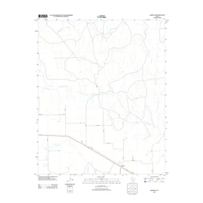
2022 Ashtola
Donley County, TX
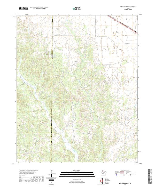
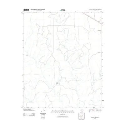
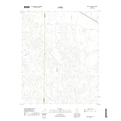
2022 Buffalo Arroyo
Donley County, TX
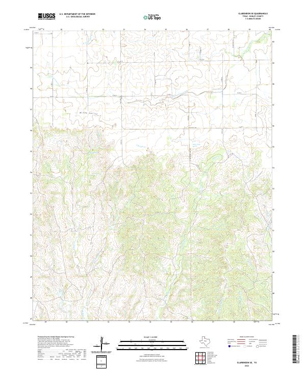
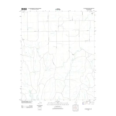
2022 Clarendon SE
Donley County, TX
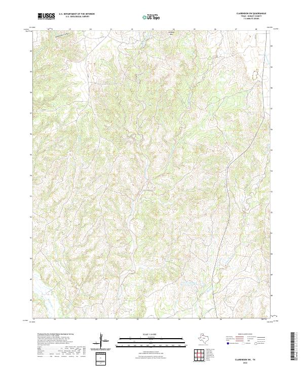
2022 Clarendon SW
Donley County, TX
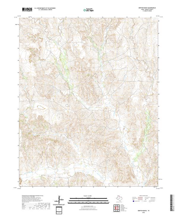
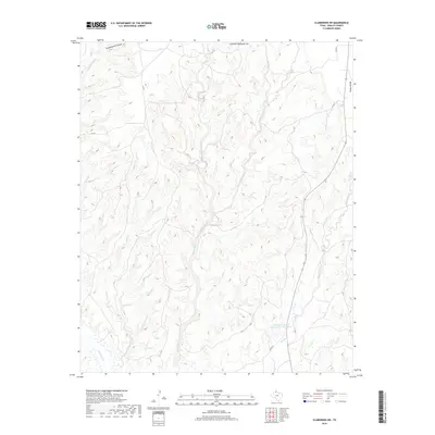
2022 Griffin Ranch
Donley County, TX
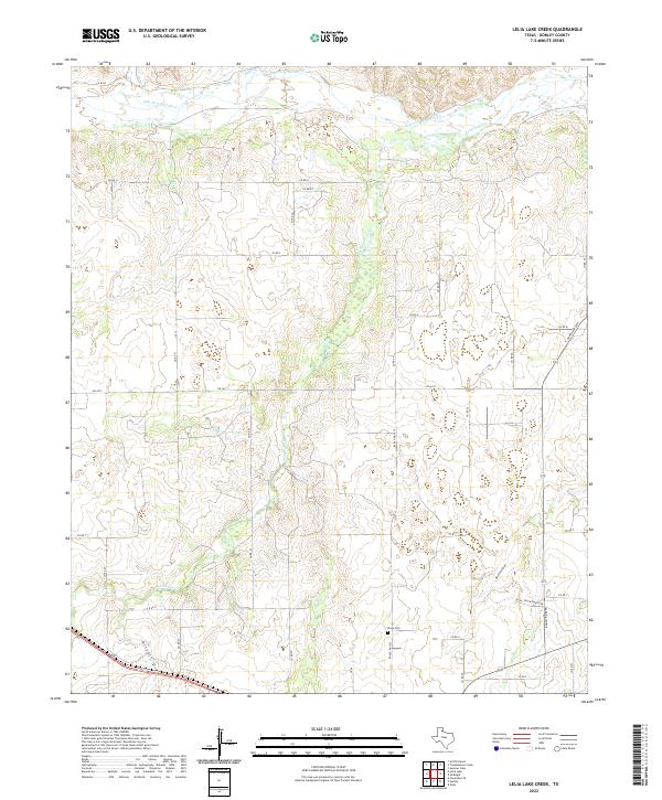
2022 Lelia Lake Creek
Donley County, TX
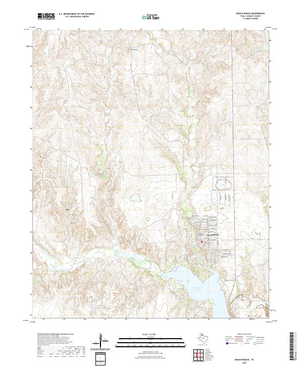
2022 Roach Ranch
Donley County, TX
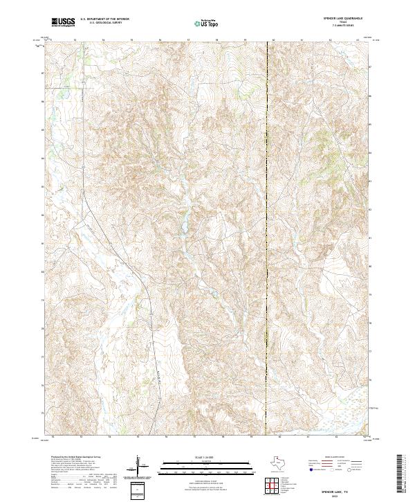
2022 Spencer Lake
Donley County, TX
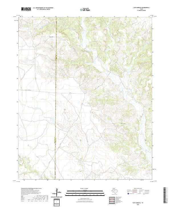
2022 Tate Arroyo
Donley County, TX
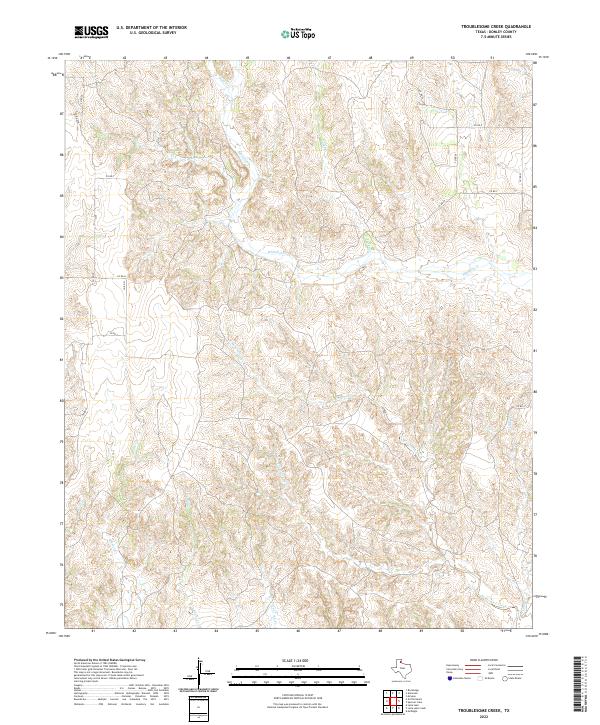
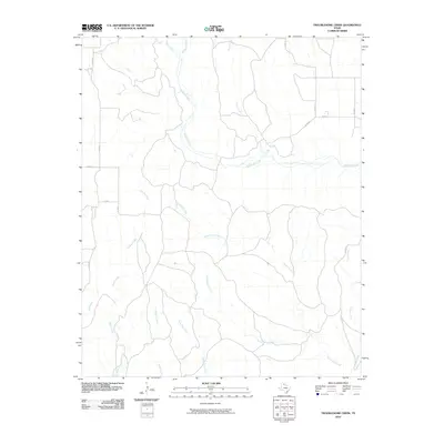
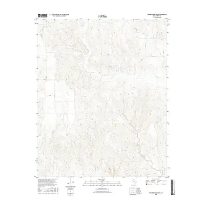
2022 Troublesome Creek
Donley County, TX
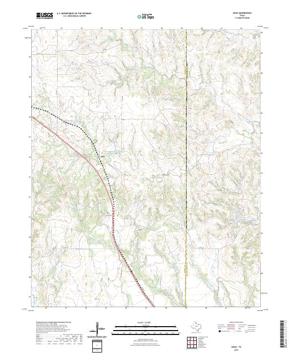
2023 Giles
Donley County, TX
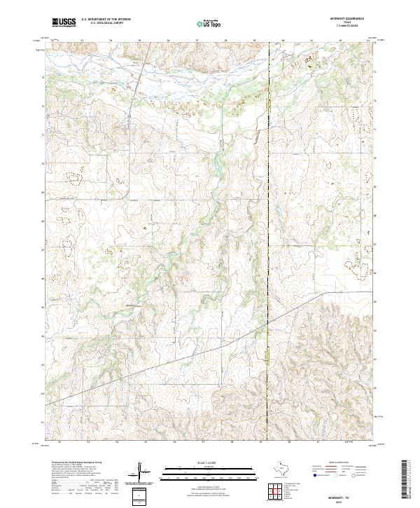
2023 McKnight
Donley County, TX