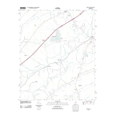
2011 Map of Ashville
USGS Topo · Published 2011About this map
Ashville serves as the focal point of this St. Clair County landscape, situated at the intersection of local routes and the waters of Big Canoe Creek. The topography is defined by the sharp ridges of the Beaver Creek Mountains and Big Ridge, which create natural corridors for modern infrastructure and older settlements alike. Small residential developments and lakeside communities like Pinedale Shores and Appalachian Highlands cluster near the impounded waters of Pinedale Lake, reflecting mid-to-late 20th-century growth patterns in this part of Alabama.
Find a feature on this map
89 named features on this map. Tap any name to fly to it.
Don’t see what you’re looking for? This feature index may not catch every label — zoom into the map to look around manually.
Map Details
Editions of this 2011 Ashville Map
This is the sole edition of this map. No revisions or reprints were ever made.
Other maps of this area

1889 · Springville
USGS Topo · 1:125,000

1892 · Springville
USGS Topo · 1:125,000

1947 · Cox Gap
USGS Topo · 1:24,000

1947 · Ragland
USGS Topo · 1:62,500

1947 · Ragland
USGS Topo · 1:24,000

1947 · Steele
USGS Topo · 1:24,000

1947 · Steele
USGS Topo · 1:62,500

1953 · Birmingham
USGS Topo · 1:250,000

1956 · Birmingham
USGS Topo · 1:250,000

1957 · Birmingham
USGS Topo · 1:250,000