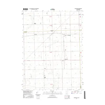
2016 Map of Assumption
USGS Topo · Published 2016About this map
The Michigan-Ohio border cuts through this landscape of the upper Maumee watershed, where the small agricultural settlements of Metamora and Assumption anchor the local community. The map reveals a highly structured grid of section lines and township roads that define the rural character of both Fulton County and Lucas County. Water management is central to the terrain, as seen in the network of drains like Corbin Drain and Hahn Drain that supplement natural watercourses like Tenmile Creek.
Find a feature on this map
52 named features on this map. Tap any name to fly to it.
Don’t see what you’re looking for? This feature index may not catch every label — zoom into the map to look around manually.
Map Details
Editions of this 2016 Assumption Map
This is the sole edition of this map. No revisions or reprints were ever made.
Other maps of this area

1911 · Wauseon
USGS Topo · 1:62,500

1911 · Swanton
USGS Topo · 1:62,500

1913 · Wauseon
USGS Topo · 1:62,500

1914 · Swanton
USGS Topo · 1:62,500

1935 · Whitehouse
USGS Topo · 1:24,000

1935 · Berkey
USGS Topo · 1:24,000

1939 · Berkey
USGS Topo · 1:31,680

1939 · Blissfield
USGS Topo · 1:62,500
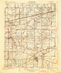
1940 · Whitehouse
USGS Topo · 1:31,680

1941 · Blissfield
USGS Topo · 1:62,500