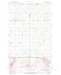
1949 Map of Atcoal
USGS Topo · Published 1982About this map
The Canada United States international border defines the northern edge of this high-plains landscape, where the rural economy of the mid-20th century relied on coal extraction and rail transport. The southern portion of the quadrangle is dominated by industrial activity within Koalfield, characterized by an expansive Strip Mine and the logistics of the Burlington Soo Line. Small industrial settlements like Atcoal and Strange Siding appear as critical transit points for the region's natural resources.
Find a feature on this map
14 named features on this map. Tap any name to fly to it.
Don’t see what you’re looking for? This feature index may not catch every label — zoom into the map to look around manually.
Map Details
Editions of this 1949 Atcoal Map
2 editions found
Other maps of this area

1947 · Noonan
USGS Topo · 1:24,000

1947 · Columbus
USGS Topo · 1:24,000

1949 · Columbus SW
USGS Topo · 1:24,000

1949 · Atcoal
USGS Topo · 1:24,000

1949 · Columbus
USGS Topo · 1:24,000

1949 · Noonan SE
USGS Topo · 1:24,000

1949 · Columbus SE
USGS Topo · 1:24,000

1949 · Noonan
USGS Topo · 1:24,000

1950 · Columbus
USGS Topo · 1:62,500

1950 · Noonan
USGS Topo · 1:62,500