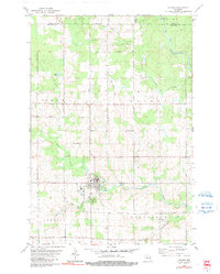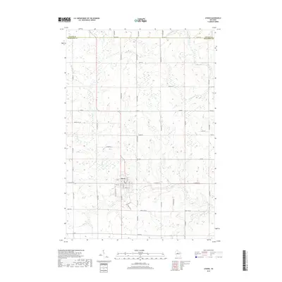
1951 Map of Athens
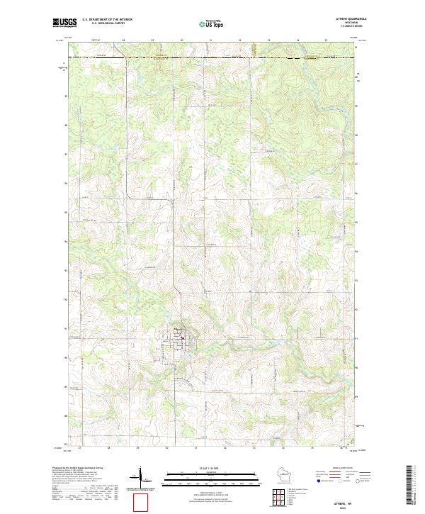
USGS Topo · Published 1970About this map
Athens serves as the primary hub of this 1951 snapshot of Marathon and Taylor counties, situated at the confluence of several small waterways including Sainte Marie Creek and the Black River. The landscape is a patchwork of rural school districts, reflecting a mid-century educational structure that relied on local landmarks like Buddy Sch, Green Grove Sch, and Whiton Sch. The Minneapolis St Paul and Sault Ste Marie railroad cuts through the southern portion of the quadrangle, facilitating the movement of goods through the village of Corinth and towards Milan.
Find a feature on this map
65 named features on this map. Tap any name to fly to it.
Don’t see what you’re looking for? This feature index may not catch every label — zoom into the map to look around manually.
Map Details
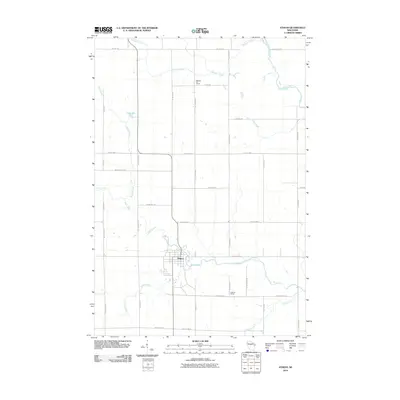
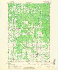
Editions of this 1951 Athens Map
2 editions found

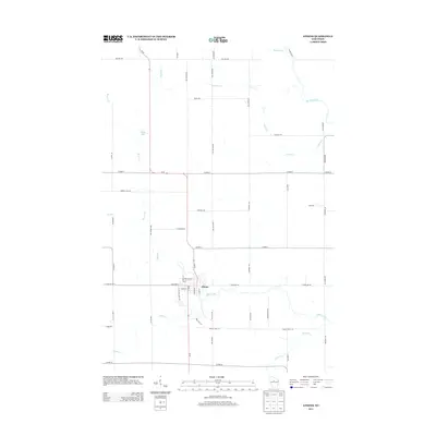
Historical Maps of Athens Through Time
7 maps found