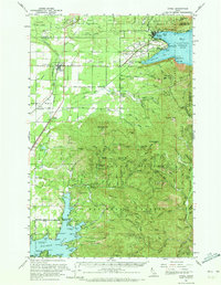
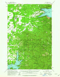
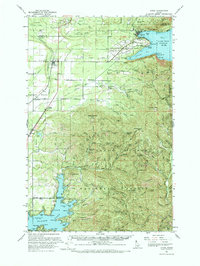
1961 Map of Athol
USGS Topo · Published 1973About this map
Athol and Bayview anchor this early 1960s survey of the panhandle, where the rugged Kootenai and Bonner county lines meet. The landscape is defined by the transition from the Eightmile Prairie to the deep waters of Lake Pend Oreille. The map documents a significant military and conservation footprint, showing the Naval Reservation and its Naval Laboratory adjacent to the Farragut Wildlife Management Area at Idlewild Bay.
Find a feature on this map
114 named features on this map. Tap any name to fly to it.
Don’t see what you’re looking for? This feature index may not catch every label — zoom into the map to look around manually.
Map Details
Editions of this 1961 Athol Map
3 editions found
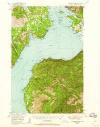
Other maps of this area

1901 · Sandpoint
USGS Topo · 1:125,000

1903 · Rathdrum
USGS Topo · 1:125,000

1909 · Cataldo
USGS Topo · 1:125,000

1911 · Cataldo
USGS Topo · 1:125,000

1911 · Priest Lake
USGS Topo · 1:250,000

1911 · Sandpoint
USGS Topo · 1:125,000

1913 · Priest Lake
USGS Topo · 1:250,000
1949 · Packsaddle Mtn
USGS Topo · 1:62,500

1951 · Packsaddle Mtn
USGS Topo · 1:62,500

1955 · Spokane
USGS Topo · 1:250,000