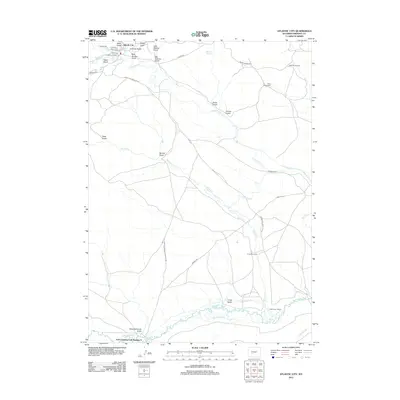
2012 Map of Atlantic City
USGS Topo · Published 2012About this map
Atlantic City serves as the focal point of this high-desert mining and ranching landscape, where the legacy of the Gold Rush era is written into the local geography through names like Beer Garden Gulch, Slaughterhouse Gulch, and the Custom Mill. The terrain is deeply etched by a network of historic transportation routes, including the iconic Oregon Trl and the Point Of Rocks S Pass Stag Rd, which cross the high plains south of the settlement.
Find a feature on this map
41 named features on this map. Tap any name to fly to it.
Don’t see what you’re looking for? This feature index may not catch every label — zoom into the map to look around manually.
Map Details
Editions of this 2012 Atlantic City Map
This is the sole edition of this map. No revisions or reprints were ever made.
Other maps of this area

1953 · Gravel Spring
USGS Topo · 1:24,000

1953 · Radium Springs
USGS Topo · 1:24,000

1953 · Atlantic City
USGS Topo · 1:24,000

1953 · Louis Lake
USGS Topo · 1:24,000

1953 · South Pass City
USGS Topo · 1:24,000

1954 · Miners Delight
USGS Topo · 1:24,000

1955 · Lander
USGS Topo · 1:250,000

1958 · Lander
USGS Topo · 1:250,000

1958 · Circle Bar Lake
USGS Topo · 1:24,000

1958 · Dickie Springs
USGS Topo · 1:24,000