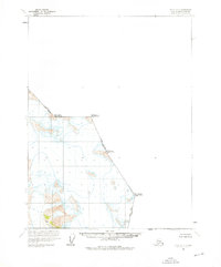
1960 Map of Atlin A-7
USGS Topo · Published 1976About this map
Boundary peaks along the international border between the United States and Canada define this remote mountainous landscape in the Alaska-Haines Borough. Recorded by the International Boundary Commission, this survey captures the high-altitude terrain where the line between British Columbia and Alaska is marked by a series of prominent summits, including Mt Hislop, Mt Poletica, and Mt Service. The topography is dominated by glacial activity, specifically noted by the presence of Crevasses in the southern portion of the quadrangle. As a map without roads or trails, it emphasizes the raw physical geography of the region at the time of the 1960 field annotation, showing the primary importance of natural landmarks in defining the frontier during the mid-20th century.
Find a feature on this map
7 named features on this map. Tap any name to fly to it.
Don’t see what you’re looking for? This feature index may not catch every label — zoom into the map to look around manually.
Map Details
Editions of this 1960 Atlin A-7 Map
2 editions found
Other maps of this area

1949 · Atlin
USGS Topo · 1:250,000

1951 · Juneau
USGS Topo · 1:250,000

1951 · Atlin
USGS Topo · 1:250,000

1960 · Juneau D-1
USGS Topo · 1:63,360

1960 · Juneau D-2
USGS Topo · 1:63,360

1960 · Atlin A-8
USGS Topo · 1:63,360
1960 · Atlin B-8
USGS Topo · 1:63,360
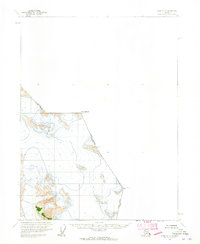
1960 · Atlin A-7
USGS Topo · 1:63,360

1960 · Atlin
USGS Topo · 1:250,000

1962 · Juneau
USGS Topo · 1:250,000